25 000 CZK
| 1 000 €
Lot 20
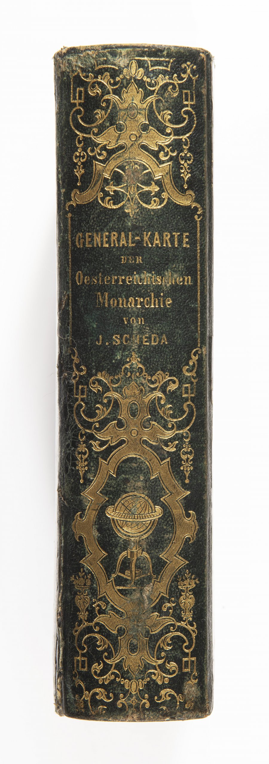
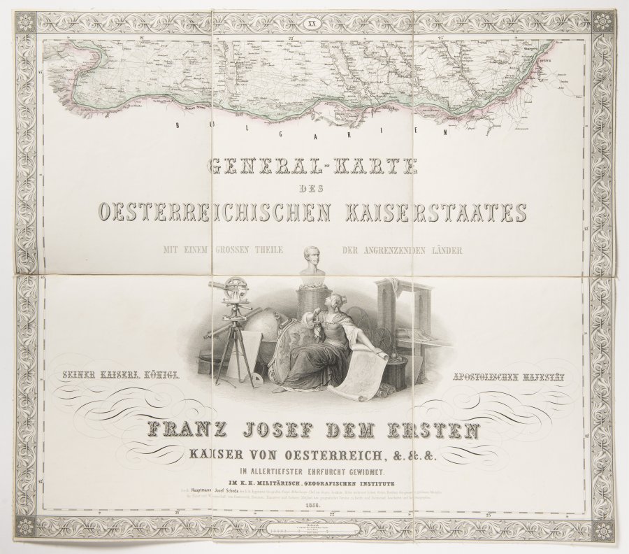
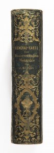
General-Karte des oesterreichischen Kaiserstaates von dem Kaiserlich-Königlichen Militär-Geographischen Institut
Around 1850
50 x 56 cm (h x w)
Starting price
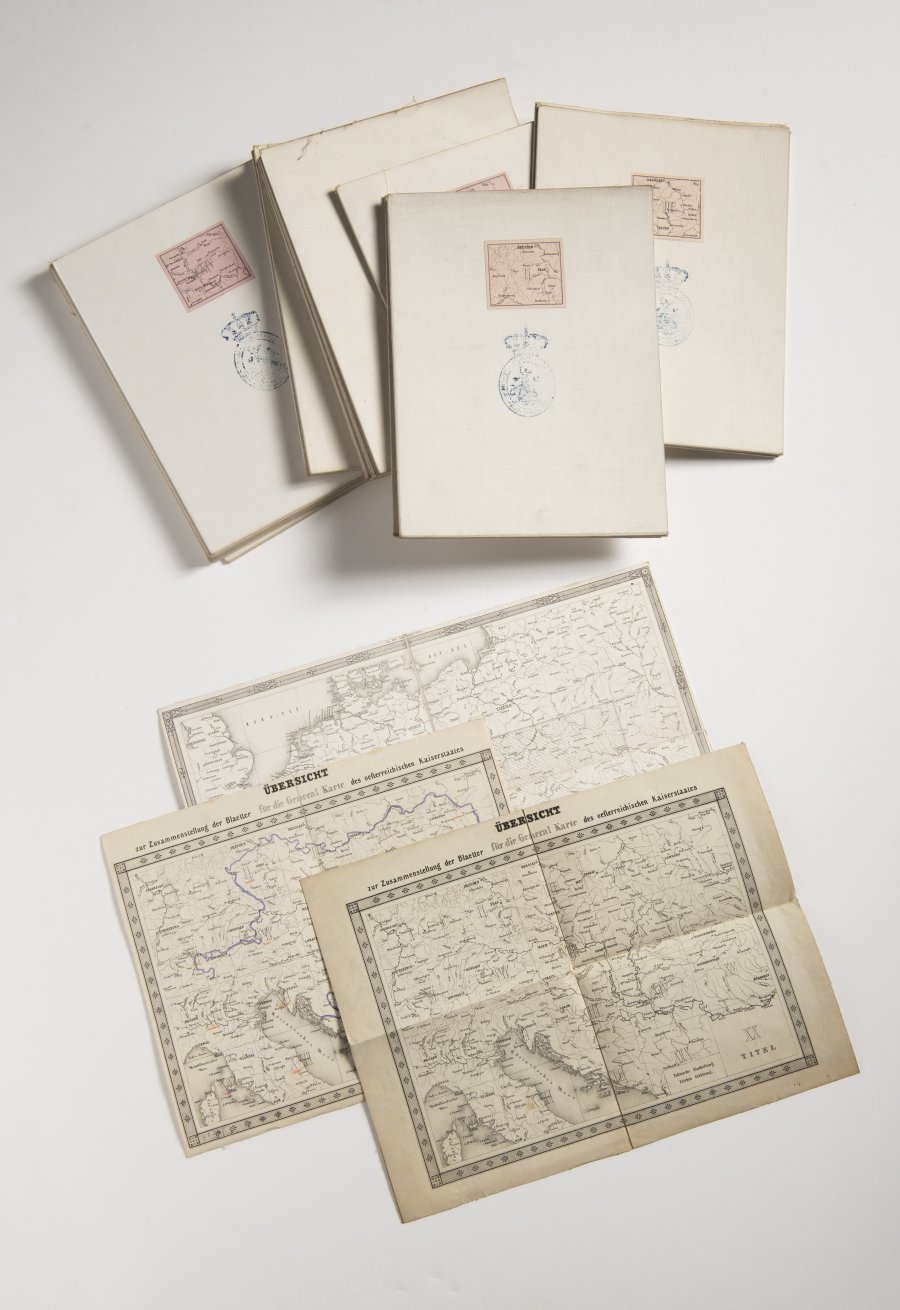
This volume contains 22 folded hand line-colored copper-engraved maps and three general view maps, key maps of various formats.
Each map, composed of six segments glued to the canvas and featuring an old noble library stamp, is bordered by a decorative frame. The title page is decorated with a dedication to the Emperor and an extensive geodetic and figurative allegoric copperplate engraving. The entire collection is then stored in the original half-leather case measuring 26 × 21 × 6.5 cm with an ornamental gilt spine label. The copy, which appears very rarely as a complete volume, is in excellently preserved condition.
More works from auction
Lot 1 ROSEUM MEMORIALE DIVINORUM ELOQUIORUM
Starting price48 000 CZK | 1 920 €
Price realized
1 000 CZK | 40 €
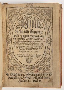
Lot 2 Pjsně duchownj Ewangelistské z Pjsem Swatých ...
Starting price90 000 CZK | 3 600 €

Lot 3 The British Herbal: An History of Plants and Trees,…
Starting price24 000 CZK | 960 €
Price realized
24 000 CZK | 960 €

Lot 4 Le Cabinet des plus beaux Portraits De plusieurs…
Starting price160 000 CZK | 6 400 €
Price realized
240 000 CZK | 9 600 €
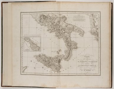
Lot 5 Voyage pittoresque a Napels et en Sicile.
Starting price140 000 CZK | 5 600 €
Price realized
140 000 CZK | 5 600 €
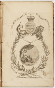
Lot 6 Vivarium Naturae or the Naturalist’s Miscellany. Vol.…
Starting price35 000 CZK | 1 400 €
Price realized
38 000 CZK | 1 520 €

Lot 7 A group of five books, each with their own title pages…
Starting price28 000 CZK | 1 120 €
Price realized
28 000 CZK | 1 120 €

Lot 8 CHRIST ON THE CROSS WITH THREE ANGELS
Starting price8 000 CZK | 320 €
Price realized
27 000 CZK | 1 080 €

Lot 9 THREE PRINTS FROM A SERIES OF TWELVE ILLUSTRATIONS OF…
Starting price28 000 CZK | 1 120 €
Price realized
31 000 CZK | 1 240 €
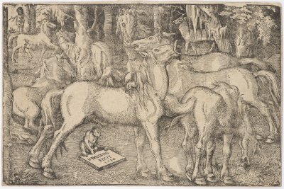
Lot 10 A GROUP OF SEVEN HORSES
Starting price12 000 CZK | 480 €
Price realized
27 000 CZK | 1 080 €
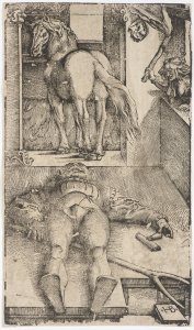
Lot 11 SLEEPING GROOM AND SORCERESS
Starting price12 000 CZK | 480 €
Price realized
23 000 CZK | 920 €

Lot 12 PSYCHE AND EROS (CUPID) WITH DAUGHTER HEDONE
Starting price4 000 CZK | 160 €
Price realized
8 000 CZK | 320 €
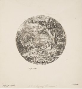
Lot 13 THE GOLDEN AGE
Starting price4 000 CZK | 160 €
Price realized
6 500 CZK | 260 €
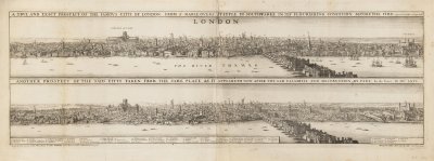
Lot 14 TWO VISTAS OF LONDON – BEFORE AND AFTER THE FIRE
Starting price35 000 CZK | 1 400 €
Price realized
120 000 CZK | 4 800 €
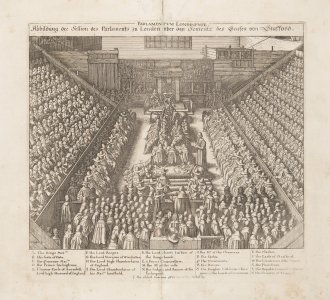
Lot 15 TWO PRINTS
Starting price18 000 CZK | 720 €
Price realized
18 000 CZK | 720 €
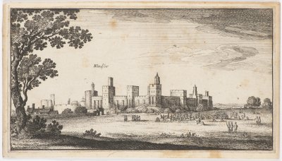
Lot 16 A GROUP OF FOUR PRINTS
Starting price12 000 CZK | 480 €
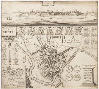
Lot 17 Chester
Starting price4 000 CZK | 160 €
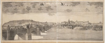
Lot 18 VISTA OF CHARLES BRIDGE
Starting price12 000 CZK | 480 €
Price realized
36 000 CZK | 1 440 €
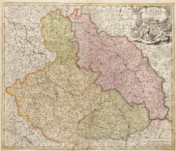
Lot 19 A GROUP OF TWO MAPS
Starting price9 000 CZK | 360 €
Price realized
9 000 CZK | 360 €
Lot 20 General-Karte des oesterreichischen Kaiserstaates von…
Starting price25 000 CZK | 1 000 €

Lot 21 STANDING FIGURE OF A PHILOSOPHER
Starting price9 000 CZK | 360 €
Price realized
9 000 CZK | 360 €

Lot 22 STUDY OF AN ALLEGORY
Starting price15 000 CZK | 600 €
Price realized
41 000 CZK | 1 640 €

Lot 23 ADORATION OF THE MAGI
Starting price9 000 CZK | 360 €
Price realized
26 000 CZK | 1 040 €

Lot 24 STUDY OF A HEAD
Starting price12 000 CZK | 480 €
Price realized
18 000 CZK | 720 €

Lot 25 ANNUNCIATION OF THE VIRGIN
Starting price15 000 CZK | 600 €
Price realized
85 000 CZK | 3 400 €
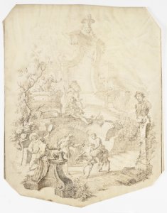
Lot 26 GRAPE HARVEST
Starting price8 000 CZK | 320 €

Lot 27 PORTRAIT OF A WOMAN IN RENAISSANCE STYLE
Starting price7 000 CZK | 280 €
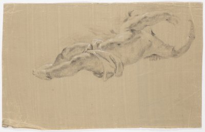
Lot 28 A STUDY OF CUPIDS
Starting price10 000 CZK | 400 €
Price realized
10 000 CZK | 400 €

Lot 29 THE FLOGGING OF CHRIST
Starting price70 000 CZK | 2 800 €
Price realized
160 000 CZK | 6 400 €

Lot 30 A GROUP OF THREE BAROQUE COPPER DIES FOR PRINTING THE…
Starting price18 000 CZK | 720 €
Price realized
35 000 CZK | 1 400 €

Lot 31 PORTRAIT OF MARY SOMERSET DUCHESS OF BEAUFORT
Starting price80 000 CZK | 3 200 €
Price realized
95 000 CZK | 3 800 €
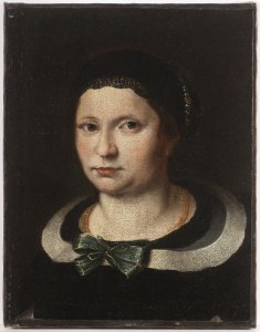
Lot 32 A PORTRAIT OF A LADY
Starting price150 000 CZK | 6 000 €
Price realized
150 000 CZK | 6 000 €

Lot 33 POULTRY IN THE KITCHEN
Starting price150 000 CZK | 6 000 €
Price realized
150 000 CZK | 6 000 €
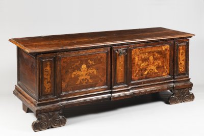
Lot 34 A CHEST
Starting price25 000 CZK | 1 000 €
Price realized
48 000 CZK | 1 920 €
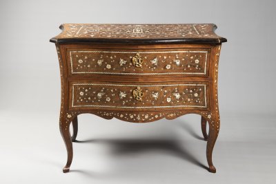
Lot 35 AN ITALIAN ROCOCO COMMODE
Starting price65 000 CZK | 2 600 €
Price realized
220 000 CZK | 8 800 €

Lot 36 A VENETIAN BAROQUE ARMCHAIR
Starting price220 000 CZK | 8 800 €

