Lot 19
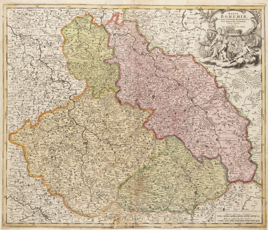
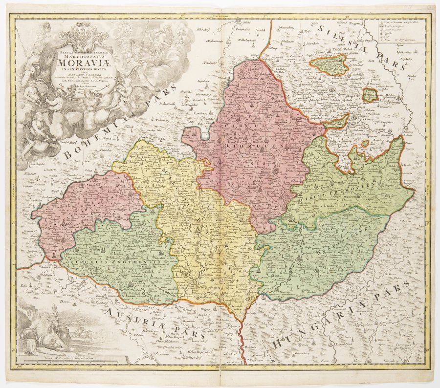
A GROUP OF TWO MAPS
Around 1720
Two separate maps, colored copper engravings
47 x 56 cm and 48 x 57 cm
| 360 €
| 360 €
The two single-leaf maps were created by Johann Christoph Müller, the author of what is perhaps the most famous wall map of Bohemia, which is presented in 25 sections. This map is a period copper engraving with colorized areas and lines. The plate imprints are bold, clean and fresh; the colors are bright and, like the strong, relatively strong paper, exceptionally well preserved, with no oxidation. The leafs feature wide margins.
REGNI BOHEMIAE, DUCATUS SILESIAE, MARCHIONATUS MORAVIAE (Map of Bohemia, Silesia and Moravia) – Tabula generalis, cartouche upper right, published by J. B. Homann, Nuremberg, ca. 1720. MARCHIONATUS MORAVIAE (Map of Moravia) – Tabula generalis, cartouche on left, cartographer J. Ch. Müller, published by J. B. Homann, Nuremberg, ca. 1720.
More works from auction
Lot 1 ROSEUM MEMORIALE DIVINORUM ELOQUIORUM
Starting price48 000 CZK | 1 920 €
Price realized
1 000 CZK | 40 €
Lot 2 Pjsně duchownj Ewangelistské z Pjsem Swatých ...
Starting price90 000 CZK | 3 600 €
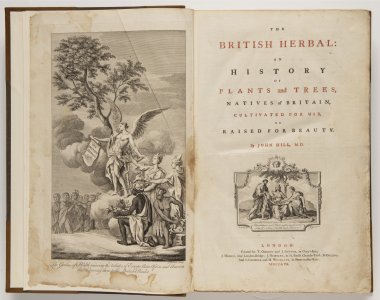
Lot 3 The British Herbal: An History of Plants and Trees,…
Starting price24 000 CZK | 960 €
Price realized
24 000 CZK | 960 €
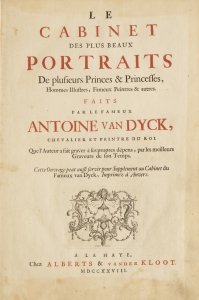
Lot 4 Le Cabinet des plus beaux Portraits De plusieurs…
Starting price160 000 CZK | 6 400 €
Price realized
240 000 CZK | 9 600 €
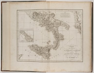
Lot 5 Voyage pittoresque a Napels et en Sicile.
Starting price140 000 CZK | 5 600 €
Price realized
140 000 CZK | 5 600 €
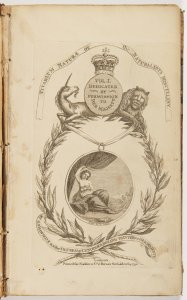
Lot 6 Vivarium Naturae or the Naturalist’s Miscellany. Vol.…
Starting price35 000 CZK | 1 400 €
Price realized
38 000 CZK | 1 520 €

Lot 7 A group of five books, each with their own title pages…
Starting price28 000 CZK | 1 120 €
Price realized
28 000 CZK | 1 120 €
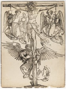
Lot 8 CHRIST ON THE CROSS WITH THREE ANGELS
Starting price8 000 CZK | 320 €
Price realized
27 000 CZK | 1 080 €
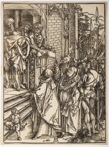
Lot 9 THREE PRINTS FROM A SERIES OF TWELVE ILLUSTRATIONS OF…
Starting price28 000 CZK | 1 120 €
Price realized
31 000 CZK | 1 240 €
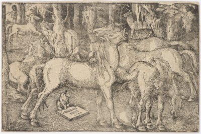
Lot 10 A GROUP OF SEVEN HORSES
Starting price12 000 CZK | 480 €
Price realized
27 000 CZK | 1 080 €
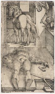
Lot 11 SLEEPING GROOM AND SORCERESS
Starting price12 000 CZK | 480 €
Price realized
23 000 CZK | 920 €
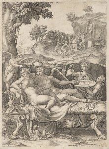
Lot 12 PSYCHE AND EROS (CUPID) WITH DAUGHTER HEDONE
Starting price4 000 CZK | 160 €
Price realized
8 000 CZK | 320 €
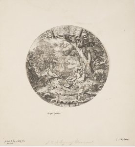
Lot 13 THE GOLDEN AGE
Starting price4 000 CZK | 160 €
Price realized
6 500 CZK | 260 €
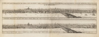
Lot 14 TWO VISTAS OF LONDON – BEFORE AND AFTER THE FIRE
Starting price35 000 CZK | 1 400 €
Price realized
120 000 CZK | 4 800 €
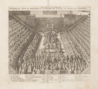
Lot 15 TWO PRINTS
Starting price18 000 CZK | 720 €
Price realized
18 000 CZK | 720 €
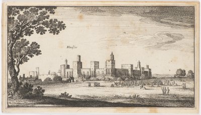
Lot 16 A GROUP OF FOUR PRINTS
Starting price12 000 CZK | 480 €
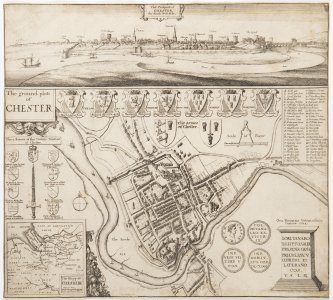
Lot 17 Chester
Starting price4 000 CZK | 160 €
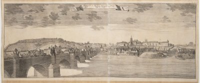
Lot 18 VISTA OF CHARLES BRIDGE
Starting price12 000 CZK | 480 €
Price realized
36 000 CZK | 1 440 €
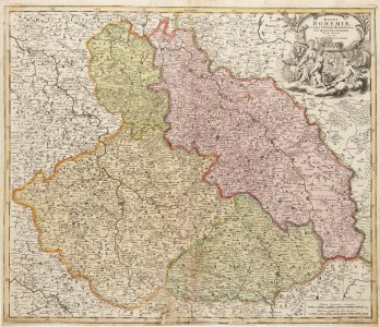
Lot 19 A GROUP OF TWO MAPS
Starting price9 000 CZK | 360 €
Price realized
9 000 CZK | 360 €
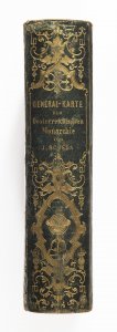
Lot 20 General-Karte des oesterreichischen Kaiserstaates von…
Starting price25 000 CZK | 1 000 €
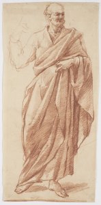
Lot 21 STANDING FIGURE OF A PHILOSOPHER
Starting price9 000 CZK | 360 €
Price realized
9 000 CZK | 360 €
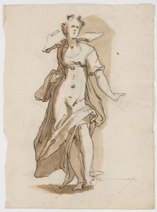
Lot 22 STUDY OF AN ALLEGORY
Starting price15 000 CZK | 600 €
Price realized
41 000 CZK | 1 640 €
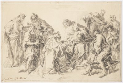
Lot 23 ADORATION OF THE MAGI
Starting price9 000 CZK | 360 €
Price realized
26 000 CZK | 1 040 €
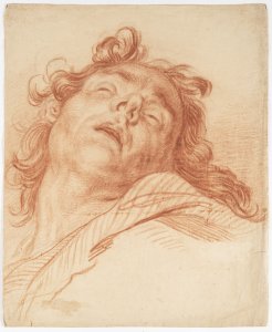
Lot 24 STUDY OF A HEAD
Starting price12 000 CZK | 480 €
Price realized
18 000 CZK | 720 €
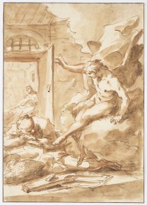
Lot 25 ANNUNCIATION OF THE VIRGIN
Starting price15 000 CZK | 600 €
Price realized
85 000 CZK | 3 400 €
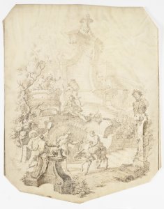
Lot 26 GRAPE HARVEST
Starting price8 000 CZK | 320 €
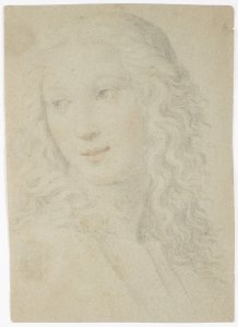
Lot 27 PORTRAIT OF A WOMAN IN RENAISSANCE STYLE
Starting price7 000 CZK | 280 €
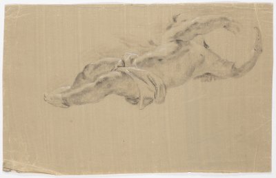
Lot 28 A STUDY OF CUPIDS
Starting price10 000 CZK | 400 €
Price realized
10 000 CZK | 400 €
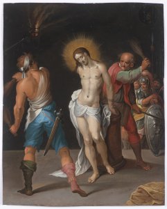
Lot 29 THE FLOGGING OF CHRIST
Starting price70 000 CZK | 2 800 €
Price realized
160 000 CZK | 6 400 €
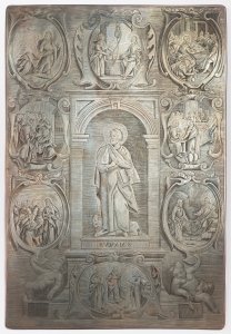
Lot 30 A GROUP OF THREE BAROQUE COPPER DIES FOR PRINTING THE…
Starting price18 000 CZK | 720 €
Price realized
35 000 CZK | 1 400 €
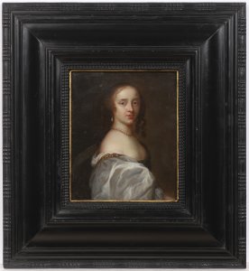
Lot 31 PORTRAIT OF MARY SOMERSET DUCHESS OF BEAUFORT
Starting price80 000 CZK | 3 200 €
Price realized
95 000 CZK | 3 800 €
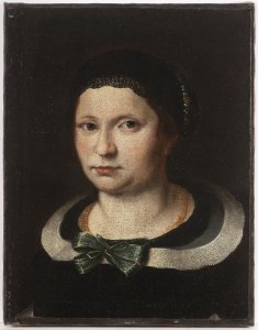
Lot 32 A PORTRAIT OF A LADY
Starting price150 000 CZK | 6 000 €
Price realized
150 000 CZK | 6 000 €
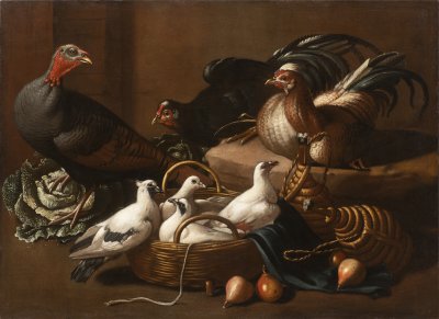
Lot 33 POULTRY IN THE KITCHEN
Starting price150 000 CZK | 6 000 €
Price realized
150 000 CZK | 6 000 €
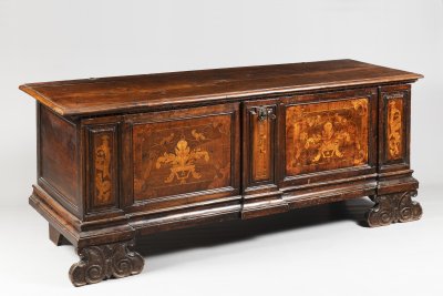
Lot 34 A CHEST
Starting price25 000 CZK | 1 000 €
Price realized
48 000 CZK | 1 920 €
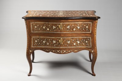
Lot 35 AN ITALIAN ROCOCO COMMODE
Starting price65 000 CZK | 2 600 €
Price realized
220 000 CZK | 8 800 €

Lot 36 A VENETIAN BAROQUE ARMCHAIR
Starting price220 000 CZK | 8 800 €
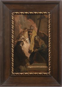
Lot 37 JOSEPH WITH THE CHRIST CHILD
Starting price90 000 CZK | 3 600 €
Price realized
190 000 CZK | 7 600 €
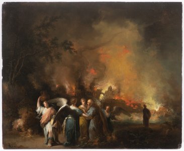
Lot 38 LOT LEAVES SODOM
Starting price45 000 CZK | 1 800 €
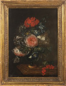
Lot 39 FLORAL STILL LIFE ON A TABLE
Starting price220 000 CZK | 8 800 €
Price realized
220 000 CZK | 8 800 €

Lot 40 FLORAL STILL LIFE
Starting price150 000 CZK | 6 000 €
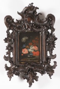
Lot 41 FLORAL STILL LIFE IN A GLASS VASE
Starting price80 000 CZK | 3 200 €
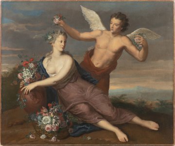
Lot 42 CUPID AND PSYCHÉ IN A LANDSCAPE
Starting price85 000 CZK | 3 400 €
Price realized
85 000 CZK | 3 400 €
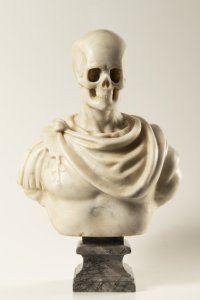
Lot 43 A MEMENTO MORI
Starting price35 000 CZK | 1 400 €
Price realized
120 000 CZK | 4 800 €
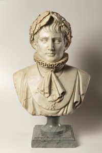
Lot 44 A BUST OF NAPOLEON BONAPARTE
Starting price55 000 CZK | 2 200 €
Price realized
70 000 CZK | 2 800 €
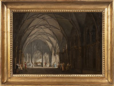
Lot 45 A GOTHIC HALL WITH FIGURES
Starting price120 000 CZK | 4 800 €
Price realized
120 000 CZK | 4 800 €

Lot 46 AN EMPIRE CHANDELIER
Starting price150 000 CZK | 6 000 €
Price realized
230 000 CZK | 9 200 €
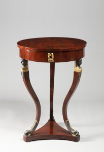
Lot 47 AN EMPIRE SIDE TABLE
Starting price40 000 CZK | 1 600 €
Price realized
70 000 CZK | 2 800 €
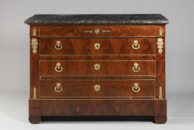
Lot 48 A FRENCH EMPIRE CHEST
Starting price18 000 CZK | 720 €
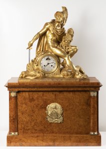
Lot 49 AN EMPIRE TABLE CLOCK
Starting price340 000 CZK | 13 600 €
Price realized
340 000 CZK | 13 600 €
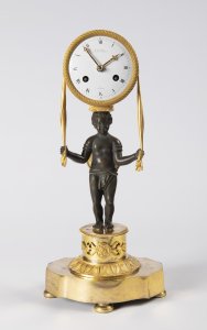
Lot 50 AN EMPIRE TABLE CLOCK
Starting price35 000 CZK | 1 400 €
Price realized
41 000 CZK | 1 640 €
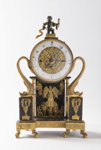
Lot 51 A VIENNESE EMPIRE TABLE CLOCK
Starting price45 000 CZK | 1 800 €
Price realized
55 000 CZK | 2 200 €
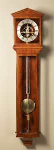
Lot 52 A REGULATOR WALL CLOCK
Starting price320 000 CZK | 12 800 €
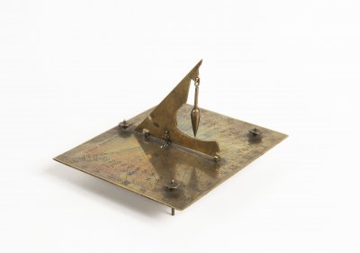
Lot 53 A SUNDIAL
Starting price20 000 CZK | 800 €
Price realized
23 000 CZK | 920 €
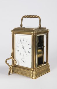
Lot 54 A TRAVEL ALARM CLOCK IN A CABINET
Starting price50 000 CZK | 2 000 €
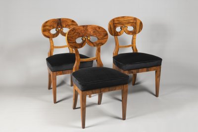
Lot 55 A SUITE OF THREE BIEDERMEIER CHAIRS
Starting price35 000 CZK | 1 400 €
Price realized
46 000 CZK | 1 840 €
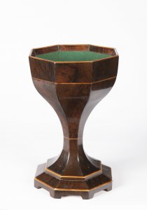
Lot 56 A BIEDERMEIER “SPUCKNAPF” SPITTOON
Starting price12 000 CZK | 480 €
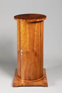
Lot 57 A “SOMNO” NIGHTSTAND FROM THE BIEDERMEIER PERIOD
Starting price18 000 CZK | 720 €
Price realized
18 000 CZK | 720 €

Lot 58 ROMANTIC LANDSCAPE WITH A BROOK
Starting price180 000 CZK | 7 200 €
Price realized
230 000 CZK | 9 200 €
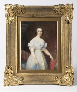
Lot 59 MINIATURE OF A YOUNG LADY IN A WHITE DRESS
Starting price25 000 CZK | 1 000 €
Price realized
33 000 CZK | 1 320 €
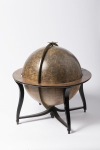
Lot 60 A CELESTIAL GLOBE
Starting price60 000 CZK | 2 400 €
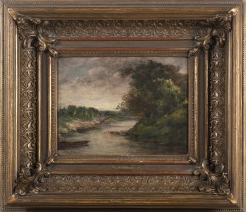
Lot 61 FRENCH LANDSCAPE
Starting price160 000 CZK | 6 400 €
Price realized
180 000 CZK | 7 200 €
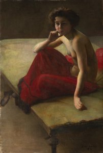
Lot 63 SEATED FEMALE NUDE
Starting price25 000 CZK | 1 000 €
Price realized
49 000 CZK | 1 960 €
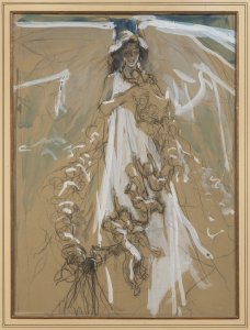
Lot 64 ANGEL
Starting price20 000 CZK | 800 €
Price realized
31 000 CZK | 1 240 €
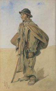
Lot 65 A STUDY FROM MORAVIAN SLOVAKIA (SLOVÁCKO)
Starting price15 000 CZK | 600 €
Price realized
15 000 CZK | 600 €

Lot 66 SUBMISSION TO THE ST. WENCESLAS MONUMENT COMPETITION
Starting price40 000 CZK | 1 600 €
Price realized
100 000 CZK | 4 000 €
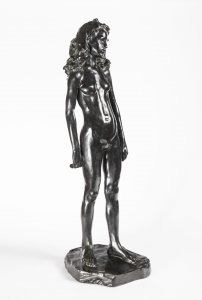
Lot 67 PUBERTY
Starting price95 000 CZK | 3 800 €
Price realized
140 000 CZK | 5 600 €
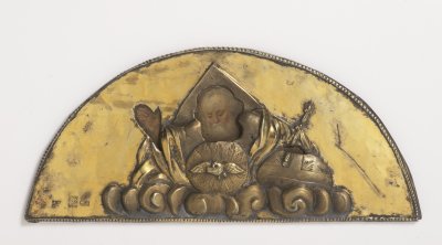
Lot 69 A RUSSIAN ICON
Starting price18 000 CZK | 720 €
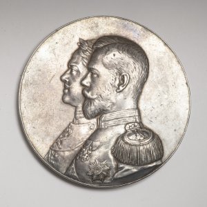
Lot 70 SILVER COMMEMORATIVE MEDAL
Starting price30 000 CZK | 1 200 €
Price realized
30 000 CZK | 1 200 €
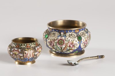
Lot 71 A GROUP OF 2 CLOISONNÉ SALT CELLARS AND A SPOON
Starting price60 000 CZK | 2 400 €
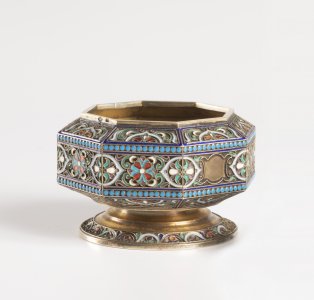
Lot 72 AN OCTAGONAL BOWL
Starting price15 000 CZK | 600 €
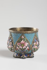
Lot 73 A BOWL WITH CLOISONNÉ ENAMEL
Starting price18 000 CZK | 720 €
Price realized
18 000 CZK | 720 €
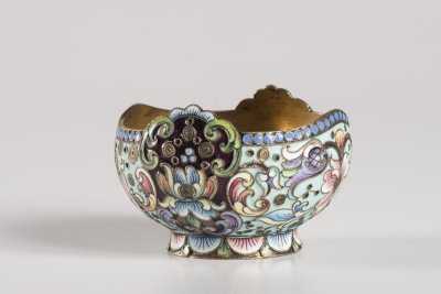
Lot 74 A BOWL
Starting price12 000 CZK | 480 €
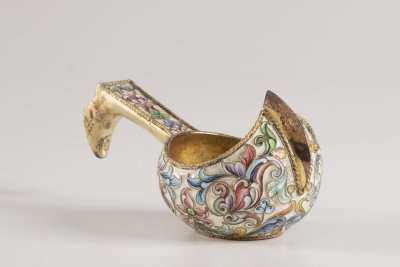
Lot 75 A KOVSH
Starting price16 000 CZK | 640 €
Price realized
21 000 CZK | 840 €
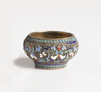
Lot 76 A SALT CELLAR
Starting price4 000 CZK | 160 €
Price realized
4 000 CZK | 160 €
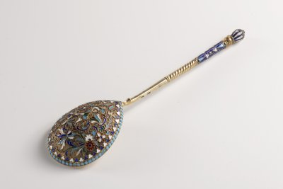
Lot 77 TWO SPOONS
Starting price10 000 CZK | 400 €
Price realized
15 000 CZK | 600 €
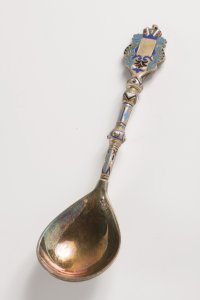
Lot 78 A SPOON
Starting price10 000 CZK | 400 €
Price realized
26 000 CZK | 1 040 €

Lot 79 A NECKLACE WITH PENDANTS
Starting price60 000 CZK | 2 400 €
Price realized
60 000 CZK | 2 400 €
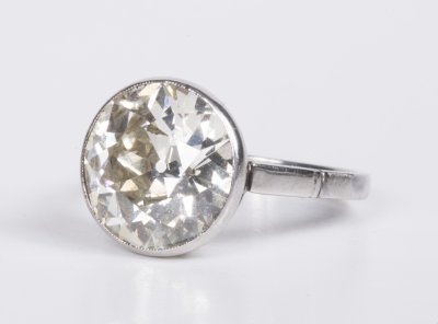
Lot 80 A DIAMOND RING
Starting price600 000 CZK | 24 000 €
Price realized
900 000 CZK | 36 000 €
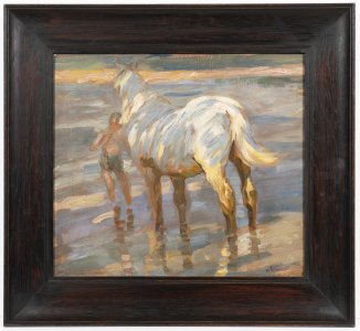
Lot 81 HORSE ON THE COAST
Starting price350 000 CZK | 14 000 €
Price realized
370 000 CZK | 14 800 €
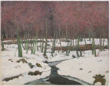
Lot 82 BELOW THE HILLSIDE
Starting price120 000 CZK | 4 800 €
Price realized
140 000 CZK | 5 600 €

Lot 83 ISLAND OF CAPRI
Starting price120 000 CZK | 4 800 €
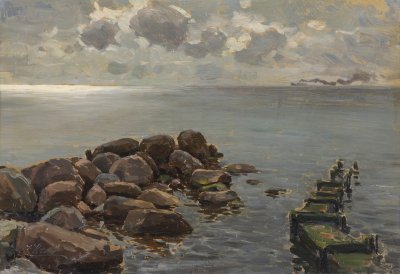
Lot 84 OIL STUDIES FROM TRAVELS
Starting price55 000 CZK | 2 200 €
Price realized
85 000 CZK | 3 400 €
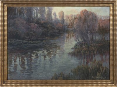
Lot 85 LANDSCAPE WITH WATER’S EDGE
Starting price340 000 CZK | 13 600 €
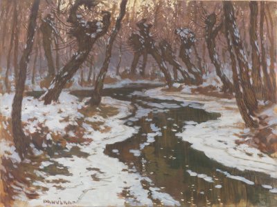
Lot 86 WINTER LANDSCAPE WITH A BROOK
Starting price45 000 CZK | 1 800 €
Price realized
55 000 CZK | 2 200 €

