Lot 34
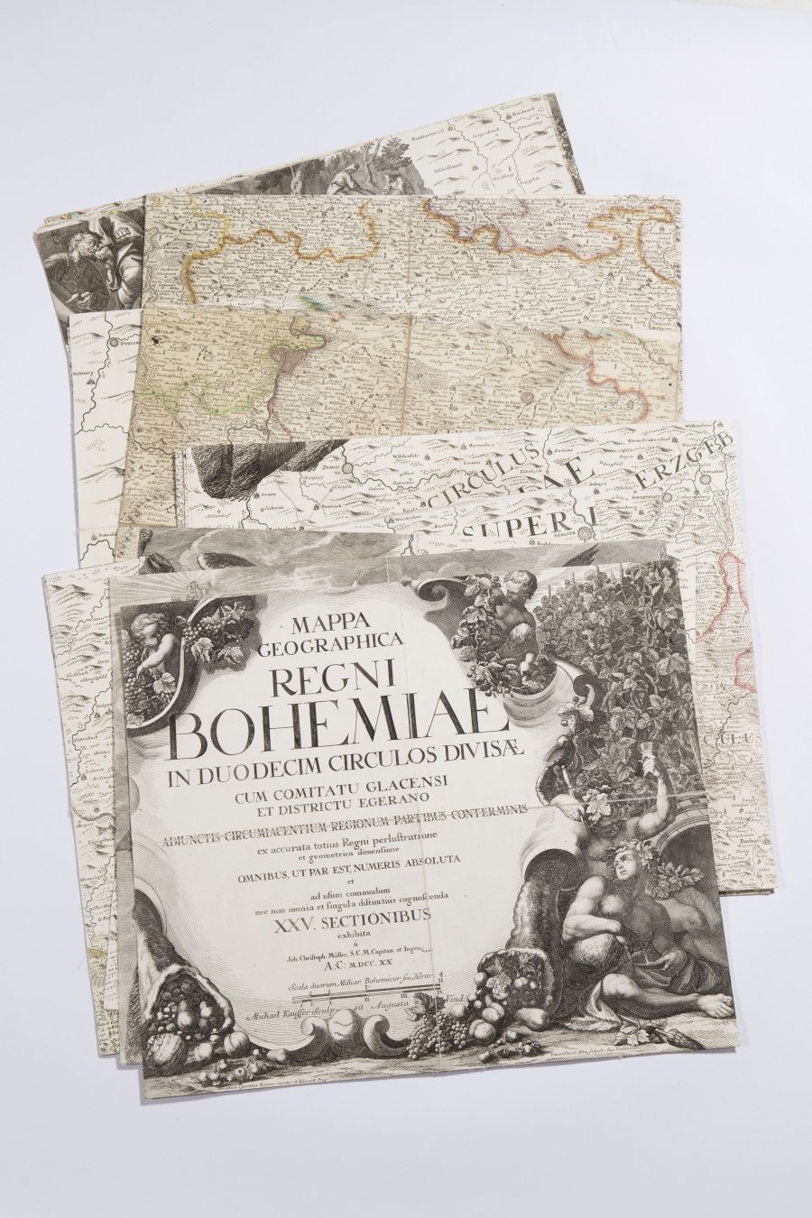
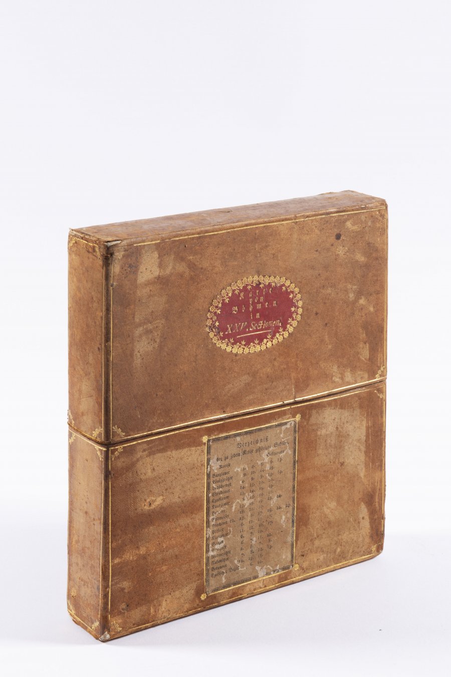
MÜLLER MAP OF BOHEMIA
1720
240 x 282 cm (h x b)
| 2 917 EUR
| 2 917 EUR
Müller's map of Bohemia is a map by the German cartographer Jan Krystof Müller from 1720 showing Bohemia at a scale of 1:132 000. It is the largest old map of Bohemia - it has 25 sections in total, in the case of the offered map it is a large variant. It is also the last and most detailed of Müller's maps (he had previously made maps of Hungary and Moravia). Müller started mapping in 1712 in the Bechyně region and finished it in 1717. The relief is depicted using the hill method with shading, much attention is paid to the river network, but the most interesting feature of the map is the detailed delineation of settlements and economic activities. The map also has high quality artwork by Václav Vavřinec Reiner. The offered map is in excellent condition, the size of one section is 47 x 55 cm.
Andere Auktionsgegenstände

NECKLACE - AWARD OF MEDA MLÁDKOVÁ
Rufpreis35 000 CZK | 1 458 EUR
Erzielter Preis
35 000 CZK | 1 458 EUR
Lot 1 SAINT PAUL
Rufpreis100 000 CZK | 4 167 EUR
Lot 2 COUNCIL OF CONSTANCE CHRONICLES
Rufpreis90 000 CZK | 3 750 EUR
Erzielter Preis
90 000 CZK | 3 750 EUR
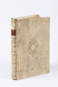
Lot 3 CRITICISM OF HUSSITISM
Rufpreis18 000 CZK | 750 EUR
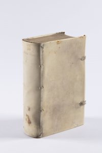
Lot 4 COMPENDIUM OF CHRISTIAN DOCTRINE
Rufpreis48 000 CZK | 2 000 EUR
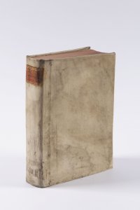
Lot 5 PJSNE DUCHOWNJ EWANGELISTSKÉ Z PJSEM SWATÝCH
Rufpreis38 000 CZK | 1 583 EUR
Erzielter Preis
50 000 CZK | 2 083 EUR
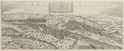
Lot 6 RENAISSANCE VIEW OF PRAGUE
Rufpreis5 000 CZK | 208 EUR
Erzielter Preis
9 500 CZK | 396 EUR

Lot 7 EMPEROR PALACE IN PRAGUE
Rufpreis6 000 CZK | 250 EUR
Erzielter Preis
8 500 CZK | 354 EUR
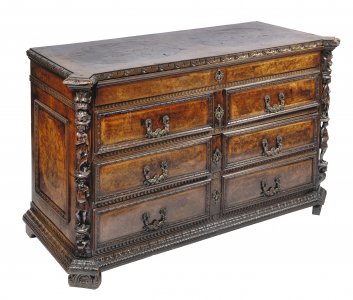
Lot 8 MANNERIST CHEST OF DRAWERS "A BAMBOCCI"
Rufpreis95 000 CZK | 3 958 EUR
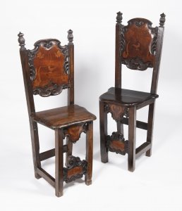
Lot 9 PAIR OF MANNERIST CHAIRS
Rufpreis15 000 CZK | 625 EUR
Erzielter Preis
33 000 CZK | 1 375 EUR
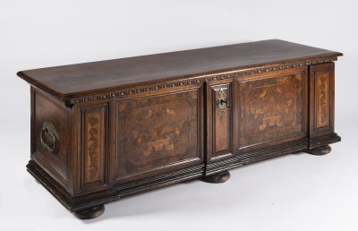
Lot 10 BAROQUE CHEST
Rufpreis60 000 CZK | 2 500 EUR
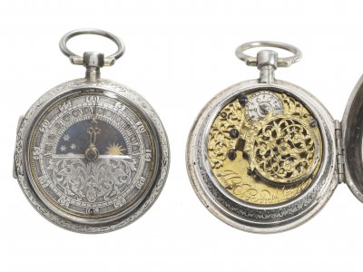
Lot 11 BAROQUE POCKET WATCH
Rufpreis80 000 CZK | 3 333 EUR
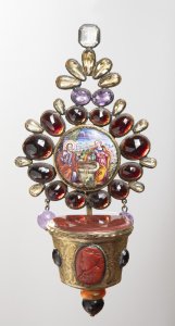
Lot 12 HOLY WATER FONT WITH SEMI-PRECIOUS STONES
Rufpreis65 000 CZK | 2 708 EUR
Erzielter Preis
65 000 CZK | 2 708 EUR
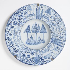
Lot 13 HABAN PLATE
Rufpreis35 000 CZK | 1 458 EUR
Erzielter Preis
55 000 CZK | 2 292 EUR
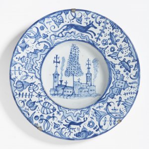
Lot 14 HABAN PLATE
Rufpreis35 000 CZK | 1 458 EUR
Erzielter Preis
55 000 CZK | 2 292 EUR
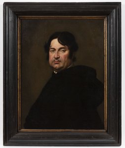
Lot 15 PORTRAIT OF A MAN
Rufpreis90 000 CZK | 3 750 EUR
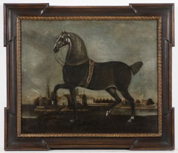
Lot 16 HORSE PORTRAIT
Rufpreis25 000 CZK | 1 042 EUR
Erzielter Preis
27 000 CZK | 1 125 EUR
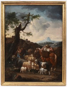
Lot 17 LANDSCAPE WITH A SHEPHERD
Rufpreis90 000 CZK | 3 750 EUR
Erzielter Preis
120 000 CZK | 5 000 EUR
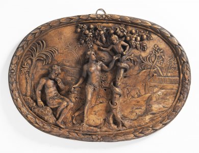
Lot 18 ADAM AND EVE
Rufpreis30 000 CZK | 1 250 EUR
Erzielter Preis
110 000 CZK | 4 583 EUR
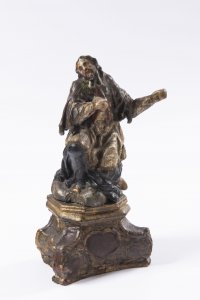
Lot 19 BAROQUE BOZZETTO
Rufpreis24 000 CZK | 1 000 EUR
Erzielter Preis
24 000 CZK | 1 000 EUR
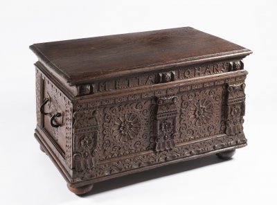
Lot 20 BAROQUE CHEST
Rufpreis10 000 CZK | 417 EUR
Erzielter Preis
10 000 CZK | 417 EUR
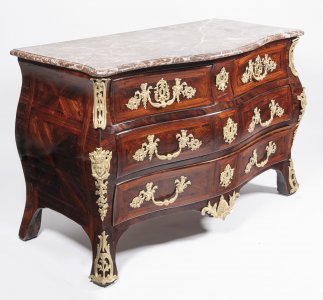
Lot 21 FRENCH LOUIS XV. COMMODE
Rufpreis95 000 CZK | 3 958 EUR
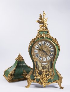
Lot 22 FRENCH LOUIS XV. CARTEL CLOCK
Rufpreis55 000 CZK | 2 292 EUR
Verkauft
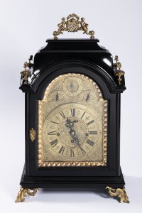
Lot 23 BAROQUE TABLE CLOCK
Rufpreis35 000 CZK | 1 458 EUR
Erzielter Preis
35 000 CZK | 1 458 EUR
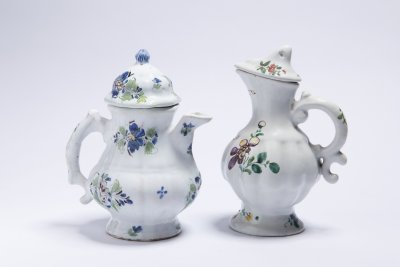
Lot 24 TWO HOLÍČ JUGS
Rufpreis12 000 CZK | 500 EUR
Erzielter Preis
13 000 CZK | 542 EUR
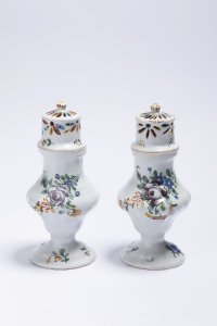
Lot 25 TWO HOLÍČ SUGAR SHAKERS
Rufpreis12 000 CZK | 500 EUR
Erzielter Preis
36 000 CZK | 1 500 EUR
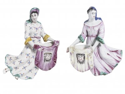
Lot 26 PAIR OF HOLIČ HOLY WATER FONT
Rufpreis15 000 CZK | 625 EUR
Erzielter Preis
44 000 CZK | 1 833 EUR
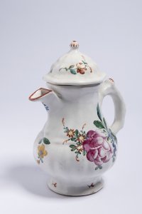
Lot 27 HOLÍČ JUG
Rufpreis6 000 CZK | 250 EUR
Erzielter Preis
6 500 CZK | 271 EUR
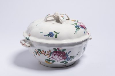
Lot 28 HOLÍČ TUREEN
Rufpreis8 000 CZK | 333 EUR
Erzielter Preis
15 000 CZK | 625 EUR
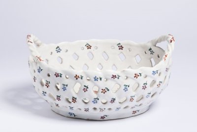
Lot 29 HOLÍČ FRUIT BOWL
Rufpreis10 000 CZK | 417 EUR
Erzielter Preis
10 000 CZK | 417 EUR
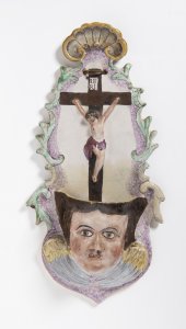
Lot 30 HOLY WATER FONT
Rufpreis10 000 CZK | 417 EUR
Erzielter Preis
20 000 CZK | 833 EUR
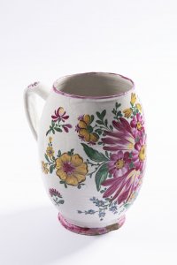
Lot 31 MUG
Rufpreis15 000 CZK | 625 EUR
Erzielter Preis
15 000 CZK | 625 EUR
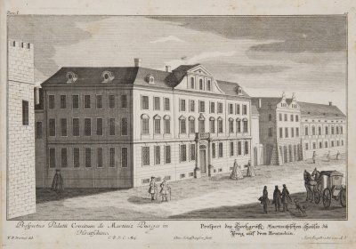
Lot 32 CONVOLUTE OF PRAGENSIA
Rufpreis30 000 CZK | 1 250 EUR
Erzielter Preis
36 000 CZK | 1 500 EUR
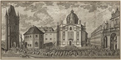
Lot 33 CORONATION PROCESSION OF MARIA TERESA
Rufpreis15 000 CZK | 625 EUR
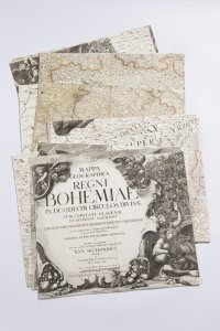
Lot 34 MÜLLER MAP OF BOHEMIA
Rufpreis70 000 CZK | 2 917 EUR
Erzielter Preis
70 000 CZK | 2 917 EUR
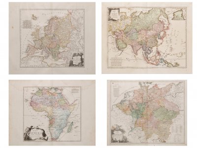
Lot 35 GROSSER DEUTSCHER ATLAS
Rufpreis25 000 CZK | 1 042 EUR
Erzielter Preis
25 000 CZK | 1 042 EUR
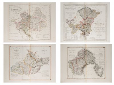
Lot 36 ATLAS OF THE AUSTRIAN EMPIRE
Rufpreis25 000 CZK | 1 042 EUR
Erzielter Preis
30 000 CZK | 1 250 EUR
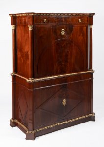
Lot 37 EMPIRE CABINET
Rufpreis95 000 CZK | 3 958 EUR
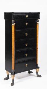
Lot 38 EMPIRE CABINET
Rufpreis65 000 CZK | 2 708 EUR
Erzielter Preis
65 000 CZK | 2 708 EUR
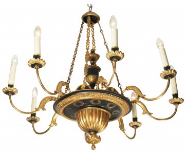
Lot 39 EMPIRE CHANDELIER
Rufpreis65 000 CZK | 2 708 EUR
Erzielter Preis
65 000 CZK | 2 708 EUR
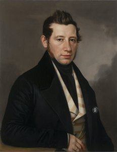
Lot 40 PORTRAIT OF A MAN
Rufpreis90 000 CZK | 3 750 EUR
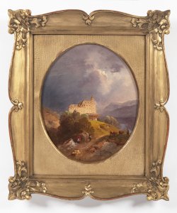
Lot 41 CHATEAU IN A MOUNTAINOUS LANDSCAPE
Rufpreis90 000 CZK | 3 750 EUR
Erzielter Preis
90 000 CZK | 3 750 EUR
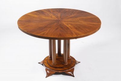
Lot 42 BIEDERMEIER ROUND DINING TABLE
Rufpreis45 000 CZK | 1 875 EUR
Erzielter Preis
85 000 CZK | 3 542 EUR

Lot 43 SET OF SIX BIEDERMEIER CHAIRS
Rufpreis60 000 CZK | 2 500 EUR
Erzielter Preis
80 000 CZK | 3 333 EUR
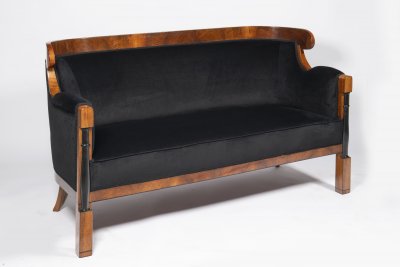
Lot 44 BIEDERMEIER SOFA
Rufpreis45 000 CZK | 1 875 EUR
Erzielter Preis
50 000 CZK | 2 083 EUR
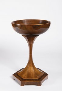
Lot 45 BIEDERMEIER “SPUCKNAPF” SPITTOON
Rufpreis25 000 CZK | 1 042 EUR
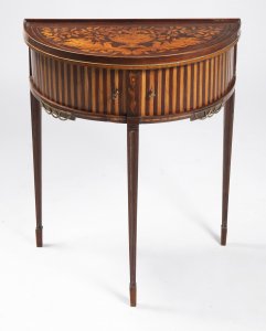
Lot 46 DEMI-LUNE TABLE
Rufpreis12 000 CZK | 500 EUR
Erzielter Preis
17 000 CZK | 708 EUR
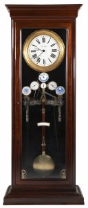
Lot 47 IMPRESSIVE ASTRONOMICAL STANDING CLOCK
Rufpreis500 000 CZK | 20 833 EUR
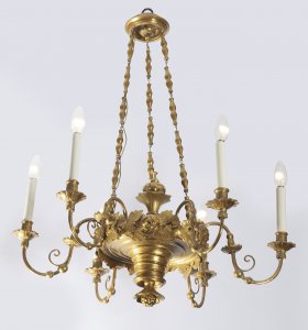
Lot 48 BIEDERMEIER CHANDELIER
Rufpreis25 000 CZK | 1 042 EUR
Erzielter Preis
36 000 CZK | 1 500 EUR
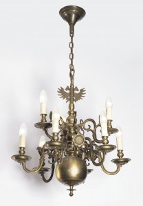
Lot 49 DUTCH CHANDELIER
Rufpreis20 000 CZK | 833 EUR
Erzielter Preis
25 000 CZK | 1 042 EUR
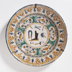
Lot 50 GUILD PLATE
Rufpreis10 000 CZK | 417 EUR
Erzielter Preis
39 000 CZK | 1 625 EUR
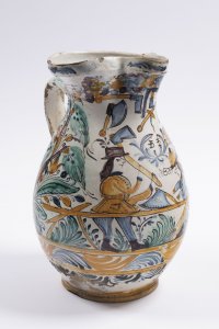
Lot 51 GUILD JUG
Rufpreis12 000 CZK | 500 EUR
Erzielter Preis
16 000 CZK | 667 EUR
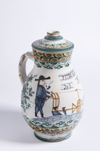
Lot 52 FOLK JUG
Rufpreis12 000 CZK | 500 EUR
Erzielter Preis
14 000 CZK | 583 EUR
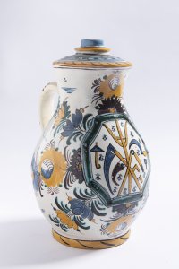
Lot 53 GUILD JUG
Rufpreis10 000 CZK | 417 EUR
Erzielter Preis
10 000 CZK | 417 EUR
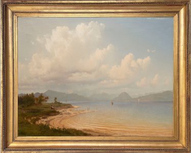
Lot 54 BY THE LAKE
Rufpreis600 000 CZK | 25 000 EUR
Erzielter Preis
600 000 CZK | 25 000 EUR
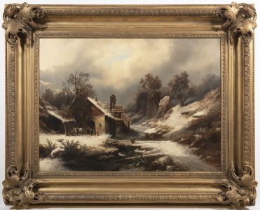
Lot 55 WINTER LANDSCAPE WITH A FORGE
Rufpreis380 000 CZK | 15 833 EUR
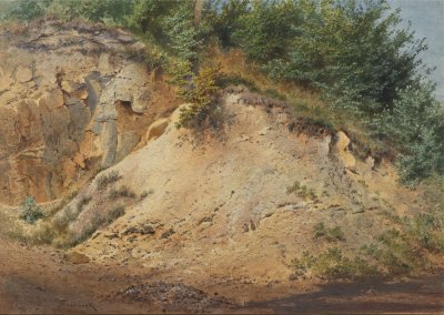
Lot 56 QUARRY
Rufpreis35 000 CZK | 1 458 EUR
Erzielter Preis
85 000 CZK | 3 542 EUR
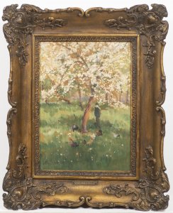
Lot 57 BLOOMING ORCHARD
Rufpreis95 000 CZK | 3 958 EUR
Erzielter Preis
120 000 CZK | 5 000 EUR
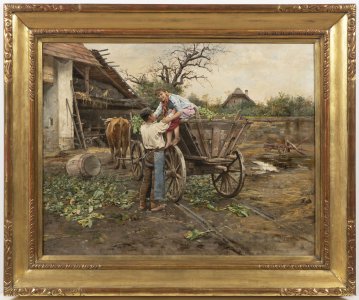
Lot 58 SWEET BURDEN
Rufpreis120 000 CZK | 5 000 EUR
Erzielter Preis
160 000 CZK | 6 667 EUR
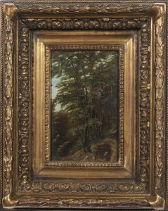
Lot 59 FOREST PATH
Rufpreis70 000 CZK | 2 917 EUR
Erzielter Preis
75 000 CZK | 3 125 EUR
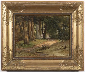
Lot 60 GLADE IN A FOREST
Rufpreis90 000 CZK | 3 750 EUR
Erzielter Preis
140 000 CZK | 5 833 EUR
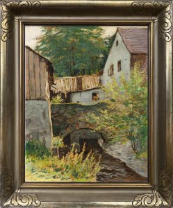
Lot 61 MOTIF FROM OKOŘ
Rufpreis75 000 CZK | 3 125 EUR
Erzielter Preis
170 000 CZK | 7 083 EUR
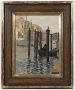
Lot 62 VENICE
Rufpreis36 000 CZK | 1 500 EUR
Erzielter Preis
150 000 CZK | 6 250 EUR
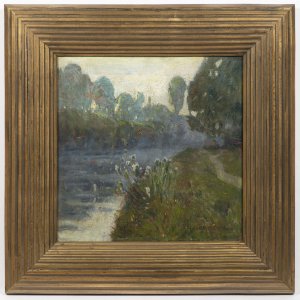
Lot 63 BY THE RIVER
Rufpreis35 000 CZK | 1 458 EUR
Erzielter Preis
80 000 CZK | 3 333 EUR
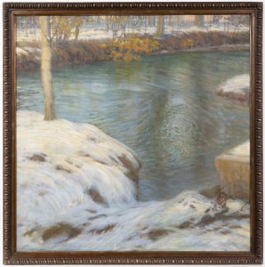
Lot 64 WINTER LANDSCAPE NEAR MUNICH
Rufpreis70 000 CZK | 2 917 EUR
Erzielter Preis
70 000 CZK | 2 917 EUR
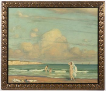
Lot 65 SWIMMING BY THE SEA
Rufpreis48 000 CZK | 2 000 EUR
Erzielter Preis
75 000 CZK | 3 125 EUR
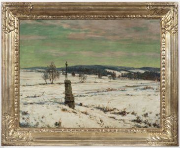
Lot 66 WAYSIDE SHRINE BY THE PATH
Rufpreis40 000 CZK | 1 667 EUR
Erzielter Preis
95 000 CZK | 3 958 EUR
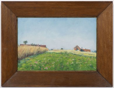
Lot 67 BEFORE HARVEST
Rufpreis30 000 CZK | 1 250 EUR
Erzielter Preis
85 000 CZK | 3 542 EUR
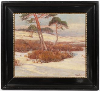
Lot 68 WINTER LANDSCAPE
Rufpreis75 000 CZK | 3 125 EUR
Erzielter Preis
75 000 CZK | 3 125 EUR
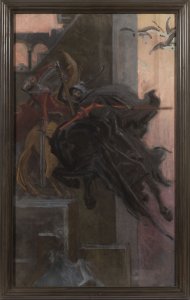
Lot 69 JOUSTING
Rufpreis100 000 CZK | 4 167 EUR
Erzielter Preis
140 000 CZK | 5 833 EUR
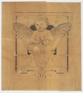
Lot 70 PUTTO WITH WINGS
Rufpreis20 000 CZK | 833 EUR
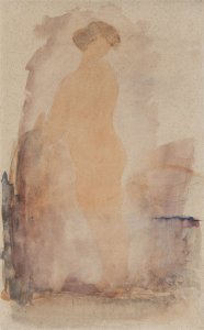
Lot 71 NUDE
Rufpreis15 000 CZK | 625 EUR
Erzielter Preis
15 000 CZK | 625 EUR
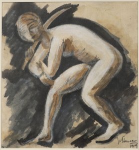
Lot 72 JUDITH
Rufpreis7 000 CZK | 292 EUR
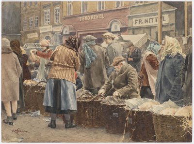
Lot 73 FISH MARKET
Rufpreis12 000 CZK | 500 EUR
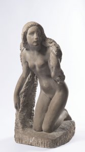
Lot 74 BEFORE THE BATH
Rufpreis250 000 CZK | 10 417 EUR
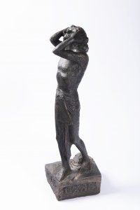
Lot 75 ASTONISHMENT
Rufpreis150 000 CZK | 6 250 EUR
Erzielter Preis
210 000 CZK | 8 750 EUR
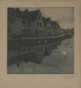
Lot 76 PARIS
Rufpreis4 000 CZK | 167 EUR
Erzielter Preis
7 500 CZK | 313 EUR
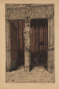
Lot 77 SAINTE-CHAPELLE
Rufpreis4 000 CZK | 167 EUR
Verkauft
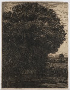
Lot 78 TREE BY THE WATER
Rufpreis50 000 CZK | 2 083 EUR
Verkauft
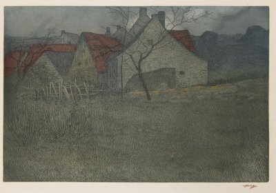
Lot 79 VILLAGE
Rufpreis30 000 CZK | 1 250 EUR
Erzielter Preis
48 000 CZK | 2 000 EUR
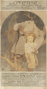
Lot 80 A LOTTERY POSTER
Rufpreis85 000 CZK | 3 542 EUR
Erzielter Preis
130 000 CZK | 5 417 EUR

Lot 81 CUBIST VASE
Rufpreis450 000 CZK | 18 750 EUR
Erzielter Preis
1 600 000 CZK | 66 667 EUR
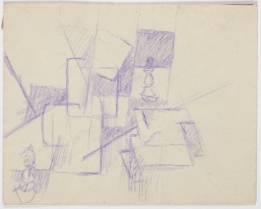
Lot 82 CHESS
Rufpreis35 000 CZK | 1 458 EUR
Erzielter Preis
35 000 CZK | 1 458 EUR
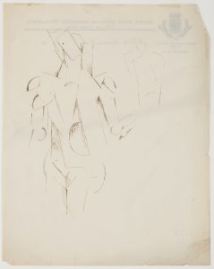
Lot 83 NUDE
Rufpreis45 000 CZK | 1 875 EUR

Lot 84 STUDY OF A WOMAN
Rufpreis55 000 CZK | 2 292 EUR

Lot 85 FIGURE
Rufpreis50 000 CZK | 2 083 EUR

Lot 86 IDIOT
Rufpreis25 000 CZK | 1 042 EUR
Erzielter Preis
31 000 CZK | 1 292 EUR

Lot 87 CRIME AND PUNISHMENT
Rufpreis25 000 CZK | 1 042 EUR
Erzielter Preis
33 000 CZK | 1 375 EUR

Lot 88 F.M. DOSTOEVSKY
Rufpreis12 000 CZK | 500 EUR
Erzielter Preis
12 000 CZK | 500 EUR

Lot 89 STILL LIFE WITH A VIOLIN
Rufpreis380 000 CZK | 15 833 EUR
Erzielter Preis
750 000 CZK | 31 250 EUR

Lot 90 A VIEW OF PRAGUE
Rufpreis65 000 CZK | 2 708 EUR

Lot 91 ŘÍP MOUNTAIN
Rufpreis35 000 CZK | 1 458 EUR
Erzielter Preis
35 000 CZK | 1 458 EUR

Lot 92 WINTER LANDSCAPE WITH AFTERGLOW
Rufpreis18 000 CZK | 750 EUR
Erzielter Preis
75 000 CZK | 3 125 EUR

Lot 93 CROSS-COUNTRY SKIING
Rufpreis28 000 CZK | 1 167 EUR
Erzielter Preis
47 000 CZK | 1 958 EUR

Lot 94 BOSNIAN GIRLS
Rufpreis24 000 CZK | 1 000 EUR
Erzielter Preis
31 000 CZK | 1 292 EUR

Lot 95 SAINT JERONE
Rufpreis40 000 CZK | 1 667 EUR
Erzielter Preis
43 000 CZK | 1 792 EUR
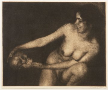
Lot 96 WOMAN WITH A SKULL
Rufpreis90 000 CZK | 3 750 EUR
Erzielter Preis
95 000 CZK | 3 958 EUR
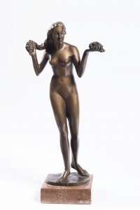
Lot 97 GIFT OF HEAVEN AND EARTH
Rufpreis40 000 CZK | 1 667 EUR
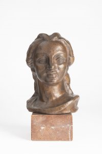
Lot 98 HEAD OF A GIRL
Rufpreis8 000 CZK | 333 EUR
Erzielter Preis
13 000 CZK | 542 EUR

Lot 99 WINNER
Rufpreis60 000 CZK | 2 500 EUR
Erzielter Preis
100 000 CZK | 4 167 EUR
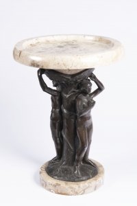
Lot 100 ADAM AND EVE
Rufpreis48 000 CZK | 2 000 EUR
Erzielter Preis
50 000 CZK | 2 083 EUR

Lot 101 SAILOR
Rufpreis90 000 CZK | 3 750 EUR
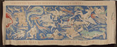
Lot 102 THE CONSTELLATIONS IN THE FIRST HOUR OF OUR FREEDOM
Rufpreis110 000 CZK | 4 583 EUR
Erzielter Preis
140 000 CZK | 5 833 EUR

Lot 103 HARLEQUIN
Rufpreis5 000 CZK | 208 EUR
Erzielter Preis
8 500 CZK | 354 EUR
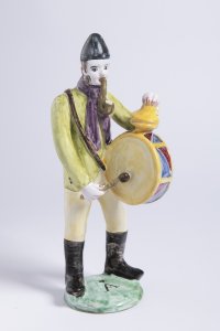
Lot 104 STUPAVA MUSICIAN
Rufpreis10 000 CZK | 417 EUR
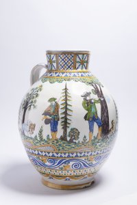
Lot 105 STUPAVA JUG
Rufpreis15 000 CZK | 625 EUR
Erzielter Preis
15 000 CZK | 625 EUR

Lot 106 ART NOUVEAU GRANITON BOX
Rufpreis6 000 CZK | 250 EUR
Erzielter Preis
13 000 CZK | 542 EUR
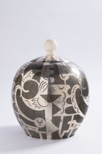
Lot 107 ART DECO COVERED JAR
Rufpreis14 000 CZK | 583 EUR
Erzielter Preis
27 000 CZK | 1 125 EUR

Lot 108 LOETZ VASE
Rufpreis6 000 CZK | 250 EUR
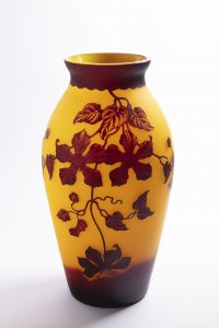
Lot 109 VASE
Rufpreis8 000 CZK | 333 EUR
Erzielter Preis
13 000 CZK | 542 EUR
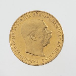
Lot 110 FRANZ JOSEPH I OF AUSTRIA GOLD COIN
Rufpreis90 000 CZK | 3 750 EUR
Erzielter Preis
120 000 CZK | 5 000 EUR
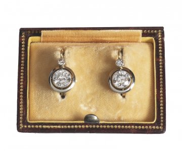
Lot 111 ART DECO DIAMOND EARRINGS
Rufpreis90 000 CZK | 3 750 EUR
Erzielter Preis
170 000 CZK | 7 083 EUR
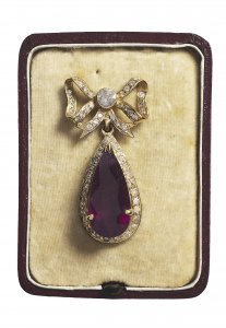
Lot 112 RUBY JEWEL
Rufpreis70 000 CZK | 2 917 EUR
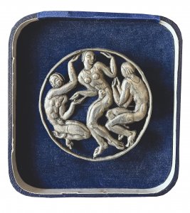
Lot 113 BROOCH WITH DANCING GIRLS
Rufpreis25 000 CZK | 1 042 EUR
Erzielter Preis
36 000 CZK | 1 500 EUR
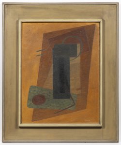
Lot 114 COMPOSITION
Rufpreis1 500 000 CZK | 62 500 EUR
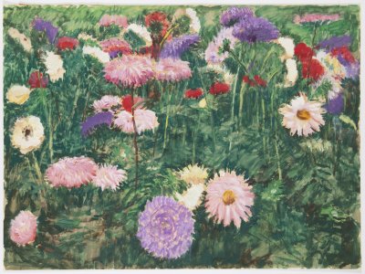
Lot 115 FLOWERS
Rufpreis24 000 CZK | 1 000 EUR
Erzielter Preis
28 000 CZK | 1 167 EUR
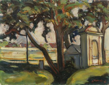
Lot 116 CHAPEL
Rufpreis35 000 CZK | 1 458 EUR
Erzielter Preis
47 000 CZK | 1 958 EUR
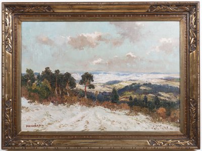
Lot 117 VIEW IN WINTER
Rufpreis40 000 CZK | 1 667 EUR
Erzielter Preis
45 000 CZK | 1 875 EUR
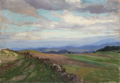
Lot 118 LANDSCAPE WITH HILLS
Rufpreis28 000 CZK | 1 167 EUR
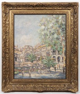
Lot 119 VICHY OPERA
Rufpreis600 000 CZK | 25 000 EUR
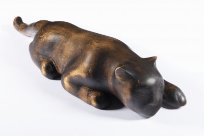
Lot 120 SNEAKING CAT
Rufpreis45 000 CZK | 1 875 EUR
Erzielter Preis
100 000 CZK | 4 167 EUR
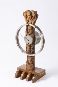
Lot 121 ART DECO TABLE CLOCK
Rufpreis60 000 CZK | 2 500 EUR
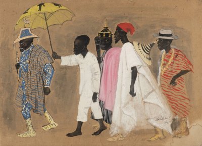
Lot 122 PROCESSION
Rufpreis95 000 CZK | 3 958 EUR
Erzielter Preis
95 000 CZK | 3 958 EUR
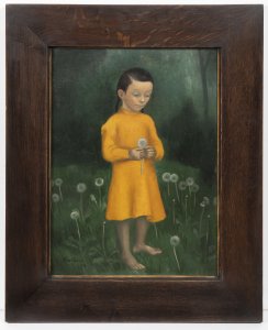
Lot 123 GIRL WITH DANDELIONS
Rufpreis180 000 CZK | 7 500 EUR
Erzielter Preis
180 000 CZK | 7 500 EUR
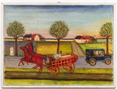
Lot 124 FRIGHTENED HORSE CART
Rufpreis25 000 CZK | 1 042 EUR
Erzielter Preis
25 000 CZK | 1 042 EUR
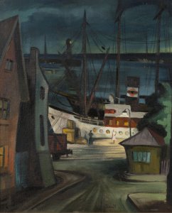
Lot 125 A FRENCH PORT
Rufpreis60 000 CZK | 2 500 EUR
Erzielter Preis
290 000 CZK | 12 083 EUR
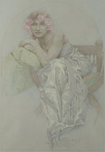
Lot 126 IN DEEP THOUGHT
Rufpreis240 000 CZK | 10 000 EUR
Erzielter Preis
490 000 CZK | 20 417 EUR
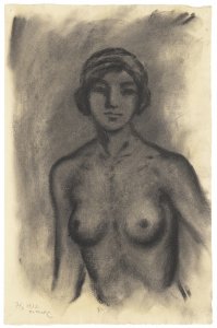
Lot 127 NUDE
Rufpreis40 000 CZK | 1 667 EUR
Erzielter Preis
40 000 CZK | 1 667 EUR
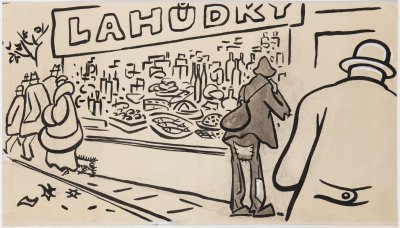
Lot 128 DELICACIES
Rufpreis30 000 CZK | 1 250 EUR
Erzielter Preis
30 000 CZK | 1 250 EUR
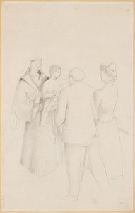
Lot 129 BAPTISM
Rufpreis10 000 CZK | 417 EUR
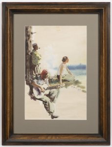
Lot 130 HISTORY OF TRAMPING
Rufpreis120 000 CZK | 5 000 EUR
Erzielter Preis
180 000 CZK | 7 500 EUR
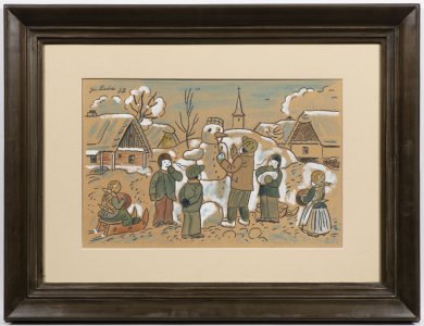
Lot 131 BUILDING A SNOWMAN
Rufpreis400 000 CZK | 16 667 EUR
Erzielter Preis
400 000 CZK | 16 667 EUR
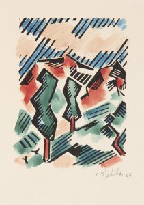
Lot 132 LANDSCAPE WITH POPLARS
Rufpreis18 000 CZK | 750 EUR
Erzielter Preis
40 000 CZK | 1 667 EUR
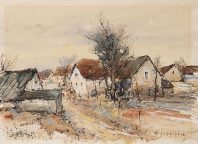
Lot 133 VILLAGE HOUSES
Rufpreis30 000 CZK | 1 250 EUR
Erzielter Preis
30 000 CZK | 1 250 EUR
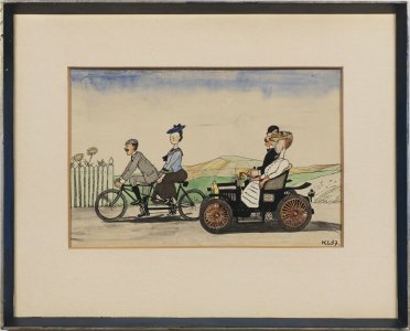
Lot 134 CAR AND BICYCLE
Rufpreis90 000 CZK | 3 750 EUR
Erzielter Preis
90 000 CZK | 3 750 EUR
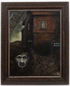
Lot 135 NELSON MINE
Rufpreis85 000 CZK | 3 542 EUR
Erzielter Preis
290 000 CZK | 12 083 EUR
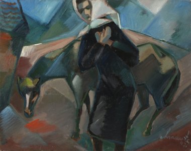
Lot 136 DISASTER
Rufpreis30 000 CZK | 1 250 EUR
Erzielter Preis
47 000 CZK | 1 958 EUR
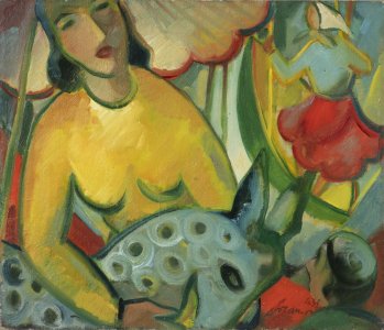
Lot 137 FROM A FAIR
Rufpreis35 000 CZK | 1 458 EUR
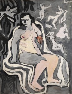
Lot 138 STUDY OF NUDES
Rufpreis60 000 CZK | 2 500 EUR
Erzielter Preis
60 000 CZK | 2 500 EUR
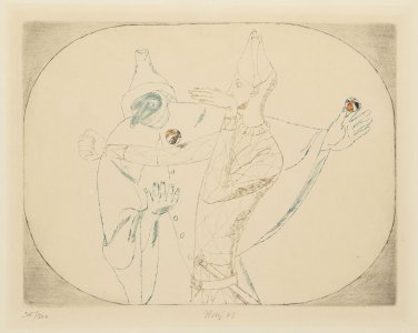
Lot 139 COMMEDIA DELL'ARTE
Rufpreis18 000 CZK | 750 EUR
Erzielter Preis
26 000 CZK | 1 083 EUR
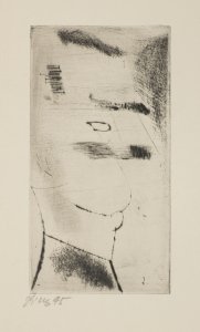
Lot 140 HEAD OF A GERMAN
Rufpreis6 000 CZK | 250 EUR
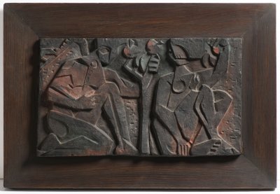
Lot 141 GARDEN RELIEF
Rufpreis30 000 CZK | 1 250 EUR
Erzielter Preis
30 000 CZK | 1 250 EUR
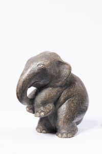
Lot 142 ELEPHANT CALF
Rufpreis10 000 CZK | 417 EUR
Erzielter Preis
13 000 CZK | 542 EUR
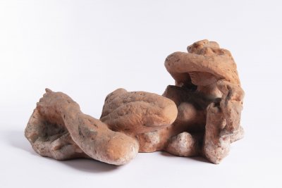
Lot 143 FEMALE NUDE
Rufpreis12 000 CZK | 500 EUR
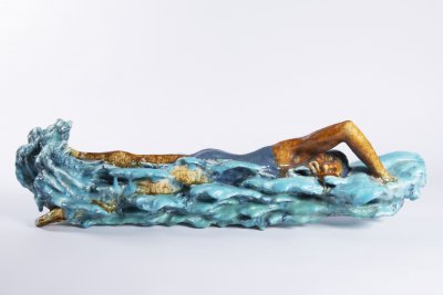
Lot 144 SWIMMER
Rufpreis20 000 CZK | 833 EUR
Erzielter Preis
23 000 CZK | 958 EUR
Lot 145 STONE VASE
Rufpreis10 000 CZK | 417 EUR
Erzielter Preis
25 000 CZK | 1 042 EUR
Lot 146 MARBLE VASE II.
Rufpreis8 000 CZK | 333 EUR
Erzielter Preis
21 000 CZK | 875 EUR
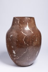
Lot 147 MARBLE VASE I.
Rufpreis10 000 CZK | 417 EUR
Erzielter Preis
20 000 CZK | 833 EUR
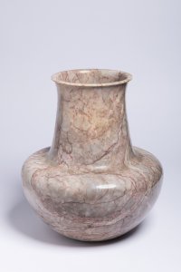
Lot 148 MARBLE VASE III.
Rufpreis10 000 CZK | 417 EUR
Erzielter Preis
10 000 CZK | 417 EUR

Lot 149 WRITING DESK 1272 AND CHAIR
Rufpreis60 000 CZK | 2 500 EUR
Erzielter Preis
80 000 CZK | 3 333 EUR
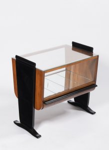
Lot 150 ART DECO COFFEE TABLE WITH DISPLAY CASE
Rufpreis7 000 CZK | 292 EUR
Erzielter Preis
24 000 CZK | 1 000 EUR
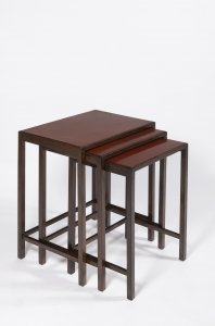
Lot 151 NESTING TABLES
Rufpreis7 000 CZK | 292 EUR
Erzielter Preis
15 000 CZK | 625 EUR
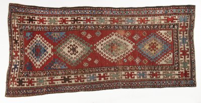
Lot 152 KAZAK BORDZALOU RUG
Rufpreis14 000 CZK | 583 EUR
Erzielter Preis
14 000 CZK | 583 EUR
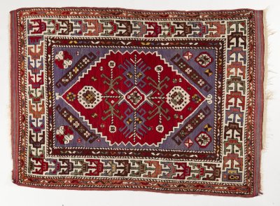
Lot 153 BERGAMA RUG
Rufpreis18 000 CZK | 750 EUR
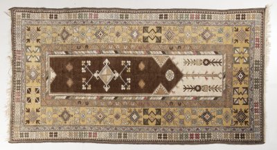
Lot 154 RUNNER MELAS
Rufpreis12 000 CZK | 500 EUR
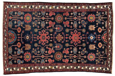
Lot 155 ANTIQUE WEDDING PERSIAN HAMADAN
Rufpreis28 000 CZK | 1 167 EUR
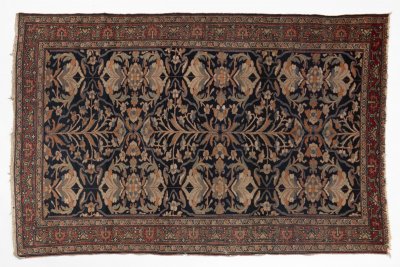
Lot 156 SAROUK LILIHAN RUG
Rufpreis16 000 CZK | 667 EUR
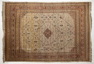
Lot 157 HAJI-JALILI TABRIZ RUG
Rufpreis28 000 CZK | 1 167 EUR
Verkauft
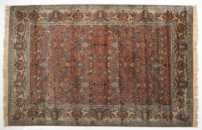
Lot 158 GARRUS BIDJAR RUG
Rufpreis15 000 CZK | 625 EUR
Erzielter Preis
20 000 CZK | 833 EUR
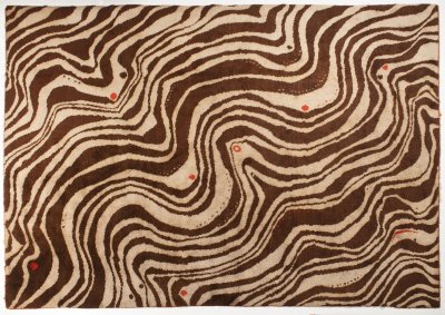
Lot 159 LARGE ZEBRA CARPET
Rufpreis120 000 CZK | 5 000 EUR
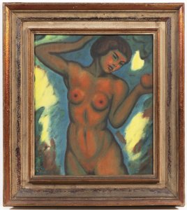
Lot 160 EVE WITH AN APPLE
Rufpreis95 000 CZK | 3 958 EUR
Erzielter Preis
170 000 CZK | 7 083 EUR
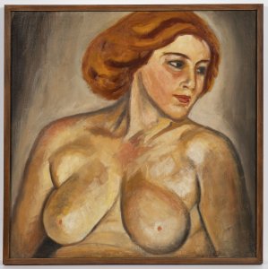
Lot 161 NUDE
Rufpreis40 000 CZK | 1 667 EUR
Erzielter Preis
60 000 CZK | 2 500 EUR
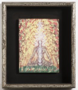
Lot 162 MEDITATION
Rufpreis60 000 CZK | 2 500 EUR
Erzielter Preis
200 000 CZK | 8 333 EUR
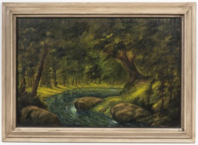
Lot 163 RIVERSIDE LANDSCAPE
Rufpreis35 000 CZK | 1 458 EUR
Erzielter Preis
55 000 CZK | 2 292 EUR
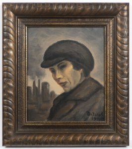
Lot 164 PORTRAIT IN A CAP
Rufpreis25 000 CZK | 1 042 EUR
Erzielter Preis
31 000 CZK | 1 292 EUR
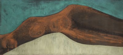
Lot 165 RECLINING NUDE
Rufpreis70 000 CZK | 2 917 EUR
Erzielter Preis
130 000 CZK | 5 417 EUR
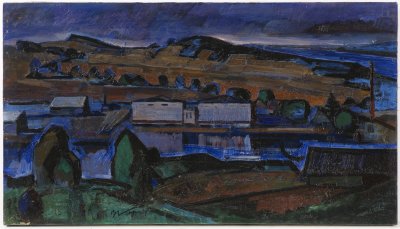
Lot 166 TWILIGHT LANDSCAPE
Rufpreis25 000 CZK | 1 042 EUR
Erzielter Preis
60 000 CZK | 2 500 EUR
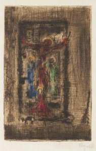
Lot 167 CRUCIFIXION
Rufpreis35 000 CZK | 1 458 EUR
Erzielter Preis
75 000 CZK | 3 125 EUR

