Lot 05
EARLY ROMAN AND GREEK GEOGRAPHY
1519
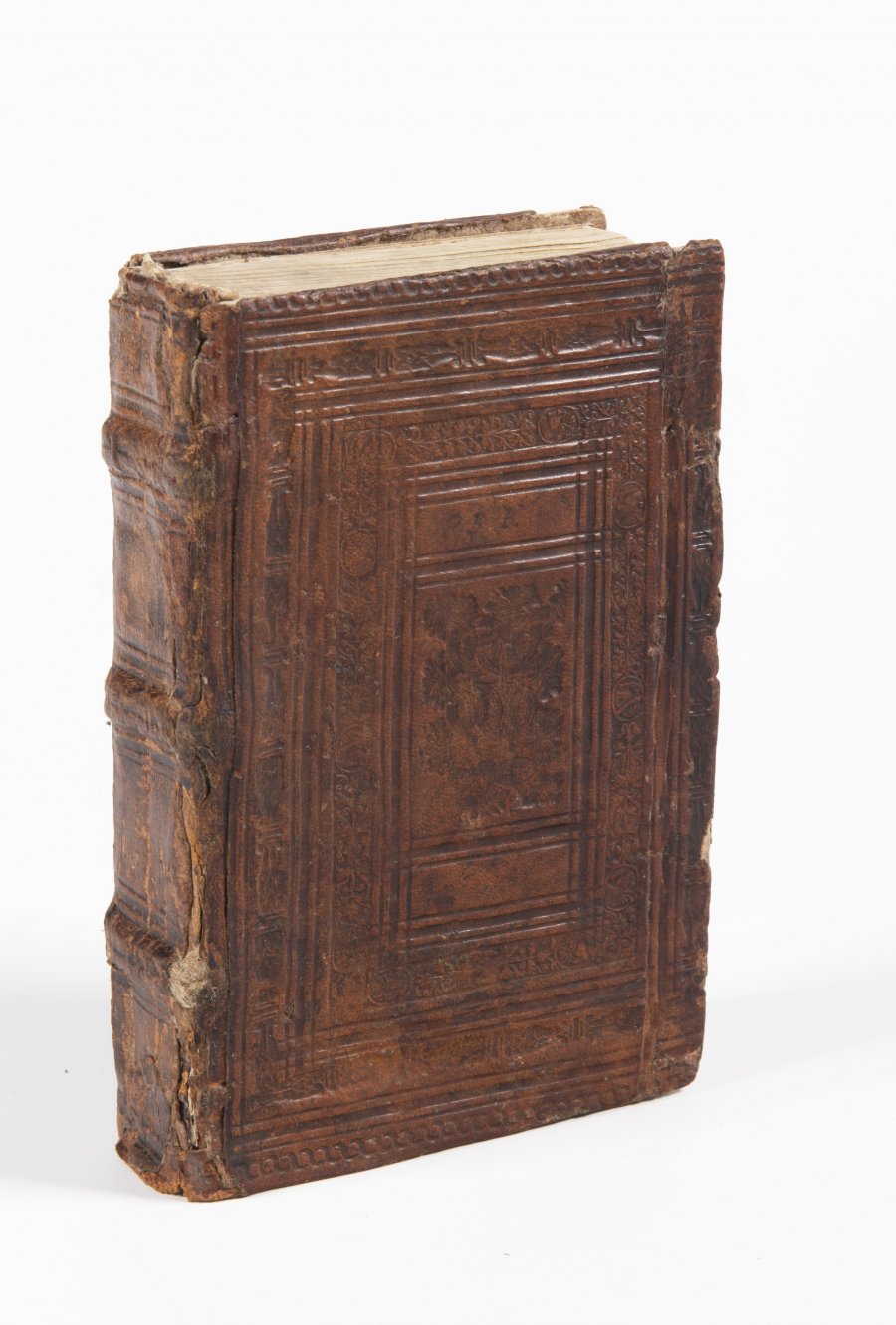
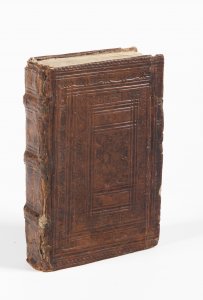
Period Renaissance binding on 3 real goatskin ligaments with rich ornamental blind-print decoration.
17 x 11 x 3,5 cm (h x w x d)
| 960 €
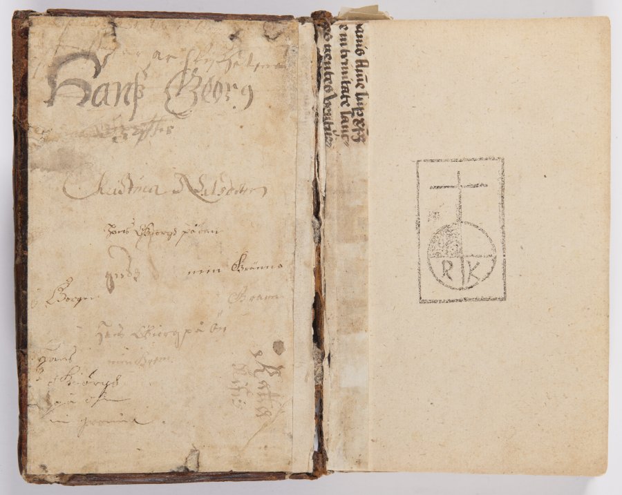
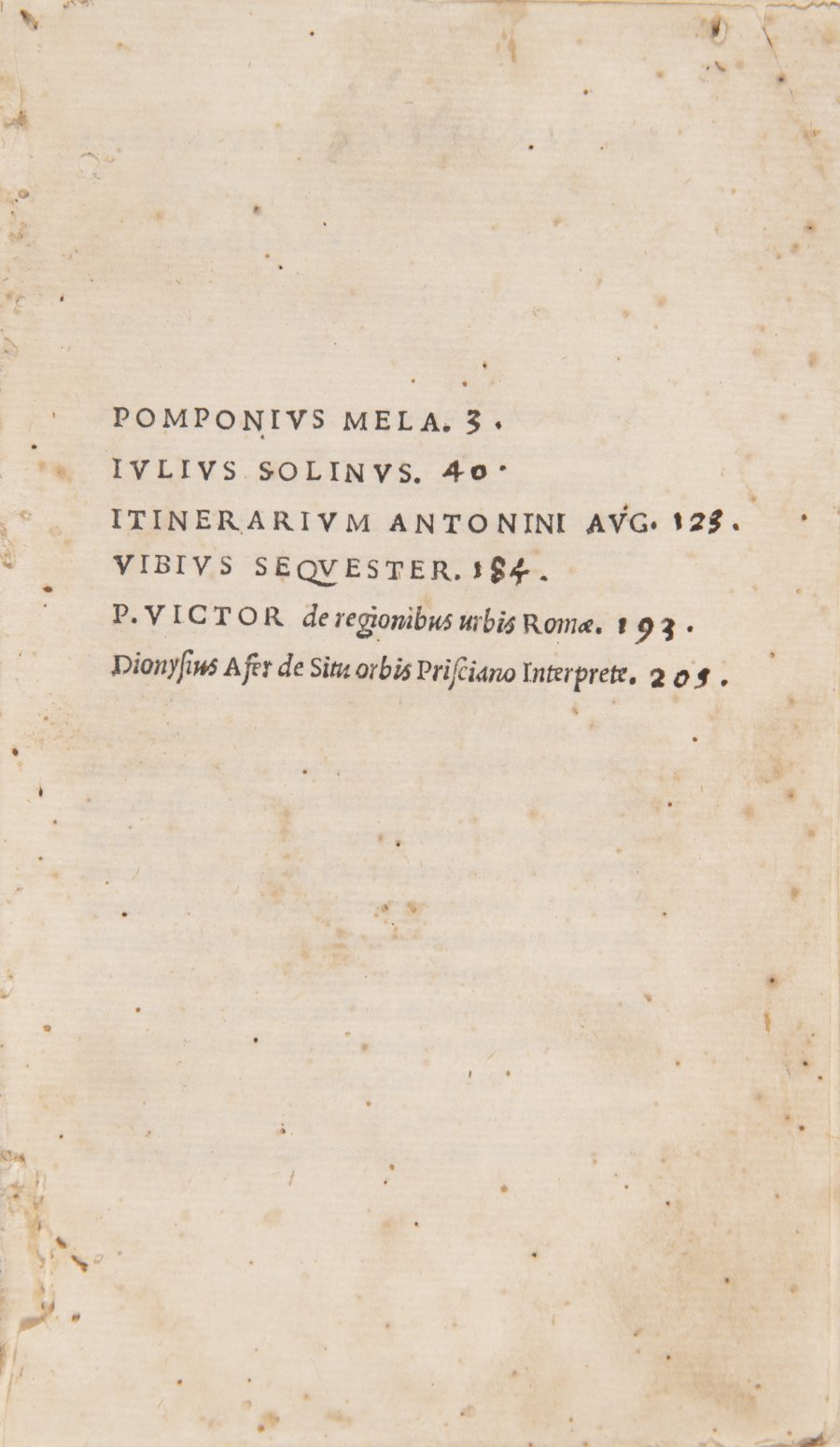
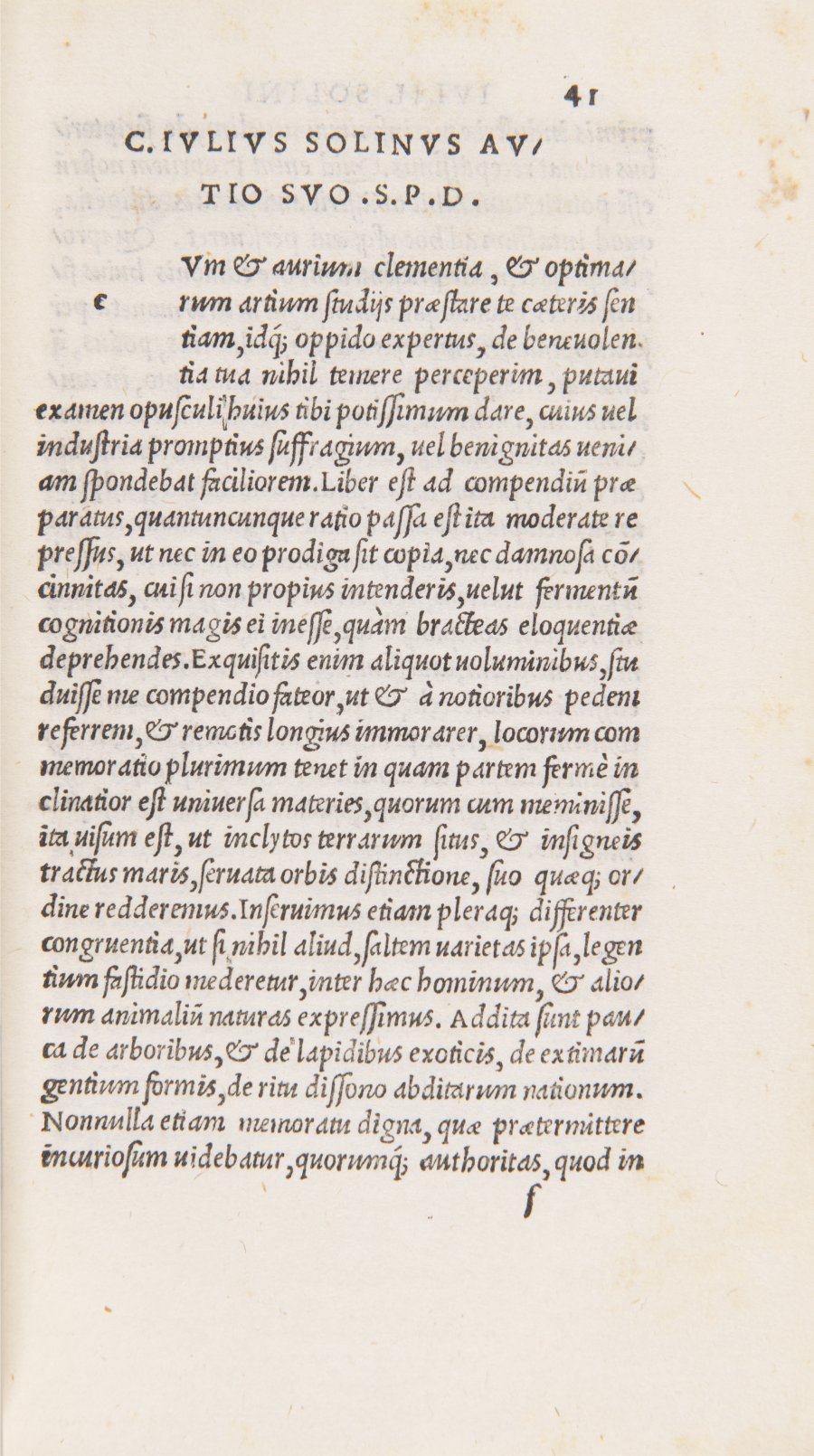
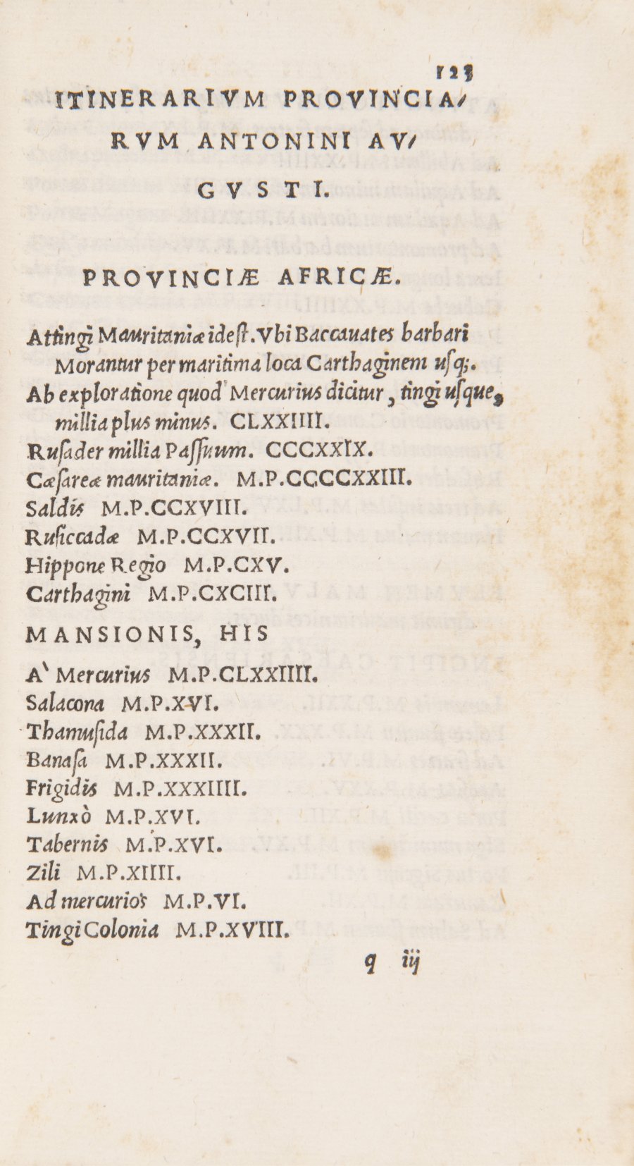
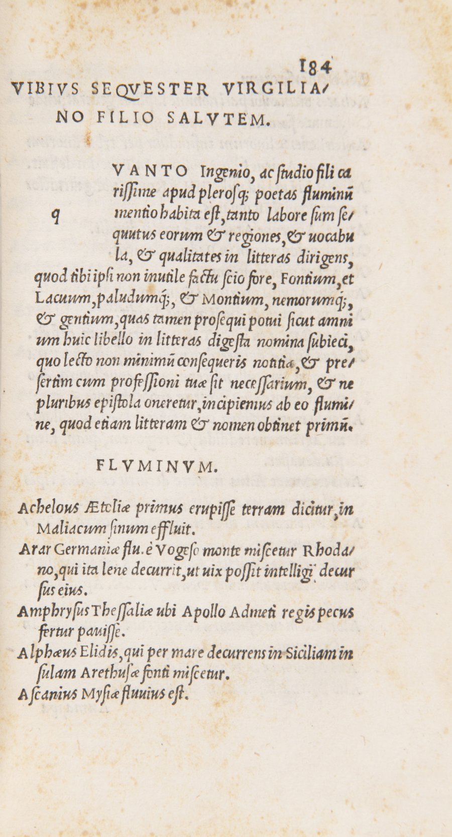
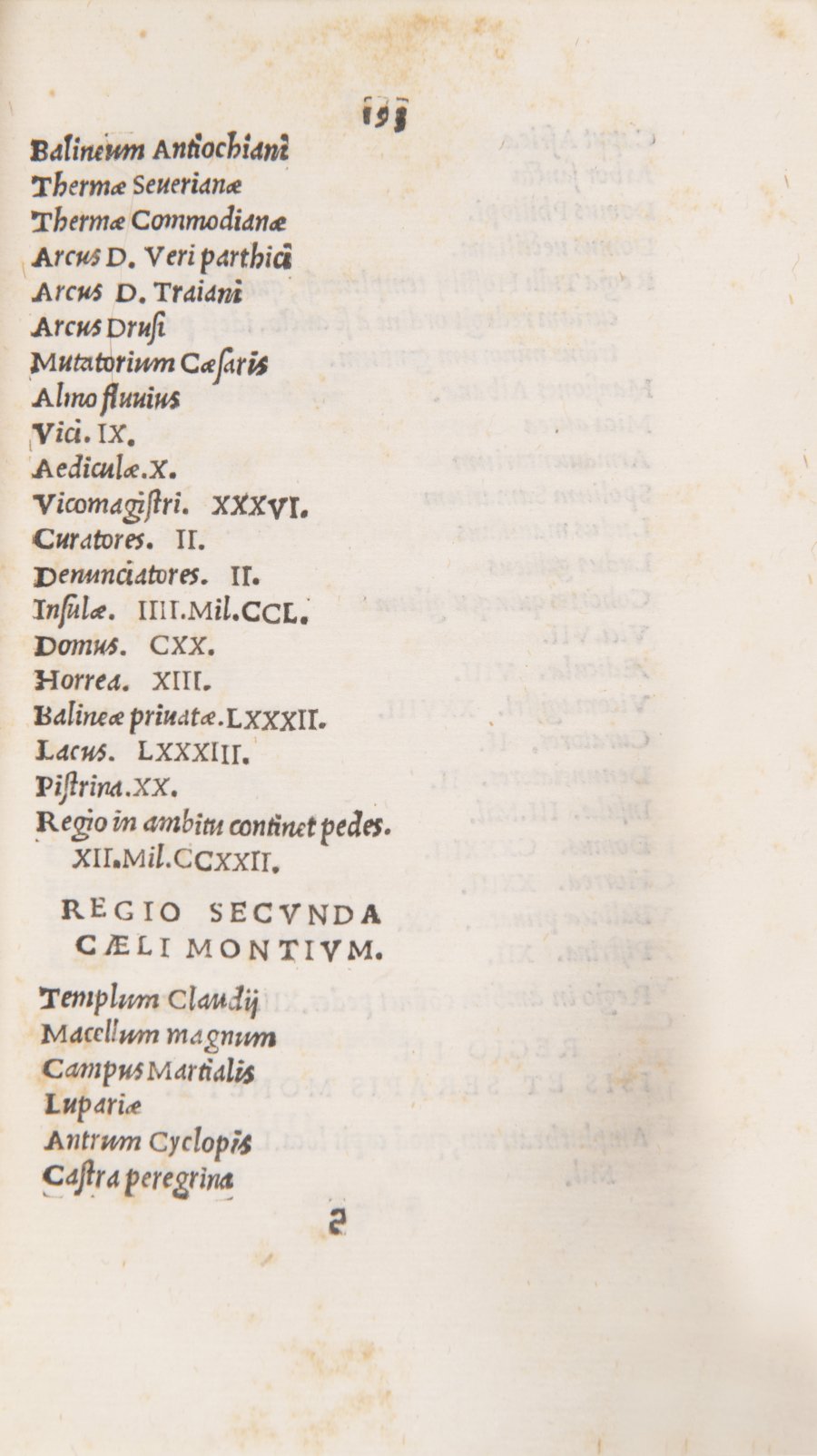
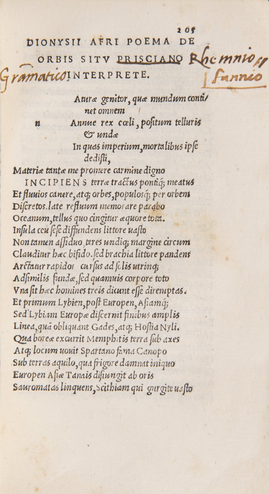
An important collection of six works of early Roman and Greek geography, descriptions of the then known world, inventories of world places and the topography of Rome in one volume. Contains 223 numbered sheets and 1 unnumbered sheet. Texts in Latin, pre-printed blank initials, wide edges of sheets, final woodcut printing mark of a legendary publisher, well preserved. A fragment of a medieval illuminated parchment manuscript used for binding is visible in the spine. Title page common to other works, paged continuously: 1) Pomponius Mela. De situ orbis, 2) J. Solinus. Polyhistor, 3) Antonius Augustus. Itinerarium provinciarum, 4) P. Victor. From the region of Rome, 5) Vibius Sequester. De fluminibus, 6) Dionysius Periegetes. De situ orbis. Post-cinnabar edition of the heirs of the famous Italian book printer Giunti from the beginnings of the press.
More works from auction

Lot 1 A LATE GOTHIC MADONNA
Starting price240 000 CZK | 9 600 €
Price realized
240 000 CZK | 9 600 €
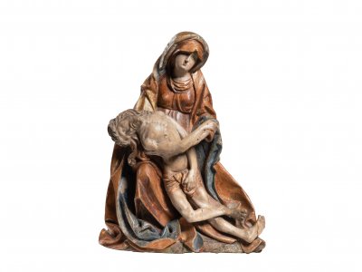
Lot 2 PIETA
Starting price220 000 CZK | 8 800 €
Price realized
230 000 CZK | 9 200 €

Lot 3 PAIRED PICTURES - MOCKING JESUS CHRIST
Starting price12 000 CZK | 480 €
Price realized
23 000 CZK | 920 €

Lot 4 RESURRECTION OF A CHRIST
Starting price17 000 CZK | 680 €
Price realized
30 000 CZK | 1 200 €
Lot 5 EARLY ROMAN AND GREEK GEOGRAPHY
Starting price24 000 CZK | 960 €
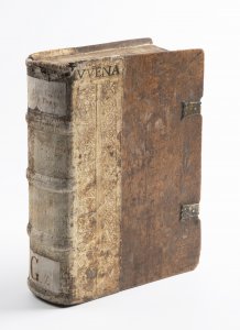
Lot 6 FOUR EARLY PRINTS OF ROMAN ANTIQUE CLASSICS
Starting price35 000 CZK | 1 400 €
Price realized
35 000 CZK | 1 400 €
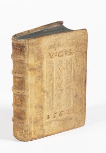
Lot 7 AMATORIA
Starting price18 000 CZK | 720 €
Price realized
18 000 CZK | 720 €
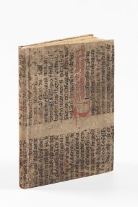
Lot 8 PRAGUE RENAISSANCE COSMOGRAPHY
Starting price48 000 CZK | 1 920 €
Sold

Lot 9 ANNUNCIATION
Starting price240 000 CZK | 9 600 €
Price realized
240 000 CZK | 9 600 €
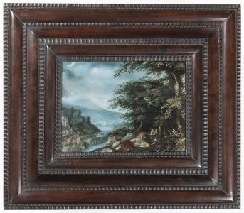
Lot 10 EVENING LANDSCAPE WITH BRIDGE AND HUNTERS
Starting price65 000 CZK | 2 600 €
Price realized
80 000 CZK | 3 200 €
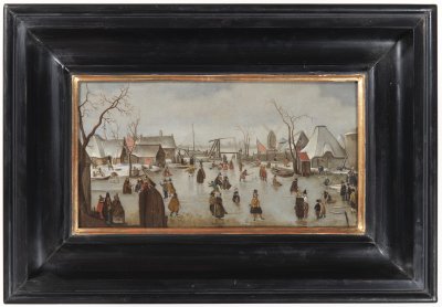
Lot 11 WINTER LANDSCAPE WITH SKATERS
Starting price45 000 CZK | 1 800 €
Price realized
85 000 CZK | 3 400 €
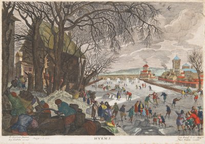
Lot 12 ALLEGORY OF WINTER
Starting price15 000 CZK | 600 €
Price realized
32 000 CZK | 1 280 €

