48 000 CZK
| 1 882 €
Lot 15
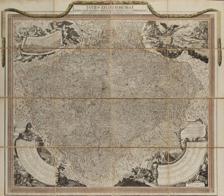
A LARGE MAP OF BOHEMIA
107 x 124 cm (h x w)
Starting price
Price realized
70 000 CZK
| 2 745 €
| 2 745 €
price without premium
16 paper sheets glued to canvas
Approximate map scale 1:340,000 in German miles
Period coloring of bordering, land borders, and major settlements. Based on Müller’s maps from the 18th century, which are updated and amended.
In addition to the standard topography, this monumental copperplate map of Bohemia, the county of Kladsko and Egerland contains an unusual wealth of information about places where rocks and minerals have been found, mined, and processed. The map, which bears an unusually large amount of information for the period in which it was created, is a valuable source of information about events in and the geographic distribution of the Czech lands in the late 18th–early 19th centuries. It indicates modern specialized topical cartography while retaining the graphic decorative features of maps from earlier centuries.
The title above the map frame is draped in laurel; large parerga in each corner. Angels carry a veduta of Prague on a ribbon in the upper left, adapted from Marco Berra. Allegory of the springs of Bohemian rivers, rafting, river transport and ferrying in upper right. An eagle carries the crowned symbol of the Kingdom of Bohemia. Lower left contains detailed legend in German, Latin and French with 76 symbols for towns, sites, churches, mills, hunting lodges, vineyards, hops fields, roads, offices, schools and cattle markets, as well as workshops and markets according to type of activity, primarily textiles, including lace-making, production of canvas, damask, stockings, hats, leather tanning and much more. Attributes of surveying, hunting, winemaking and harvests around the legend.
The map is in very preserved condition, and is framed and under glass.
More works from auction
Lot 1 LIBER CHRONICARUM
Starting price650 000 CZK | 25 490 €
Price realized
650 000 CZK | 25 490 €
Lot 2 DE REVOLUTIONIBUS ORBIUM COELESTIUM
Starting price1 900 000 CZK | 74 510 €
Price realized
2 000 000 CZK | 78 431 €
Lot 3 ACADEMIA NOBILISSIMAE ARTIS PICTORIAE
Starting price40 000 CZK | 1 569 €
Price realized
41 000 CZK | 1 608 €
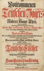
Lot 4 DES VOLLKOMMENEN TEUTSCHEN JÄGERS ANDERER HAUPT-THEIL
Starting price38 000 CZK | 1 490 €
Price realized
10 000 CZK | 392 €
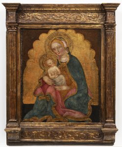
Lot 5 MADONNA WITH THE CHRIST CHILD
Starting price500 000 CZK | 19 608 €
Price realized
500 000 CZK | 19 608 €
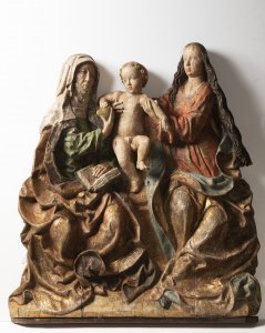
Lot 6 THE VIRGIN AND CHILD WITH ST. ANNE
Starting price350 000 CZK | 13 725 €
Price realized
350 000 CZK | 13 725 €
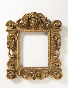
Lot 7 ITALIAN RENAISSANCE FRAME
Starting price55 000 CZK | 2 157 €
Price realized
65 000 CZK | 2 549 €
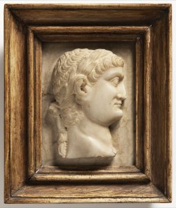
Lot 8 TWO RELIEF PORTRAITS OF ROMAN EMPERORS
Starting price45 000 CZK | 1 765 €
Price realized
45 000 CZK | 1 765 €
Lot 9 VENUS HONORED BY NYMPHS AND A FAUN
Starting price280 000 CZK | 10 980 €
Price realized
23 225 CZK | 911 €
Lot 10 SAINT AGNES OF ROME
Starting price200 000 CZK | 7 843 €
Price realized
3 466 CZK | 136 €
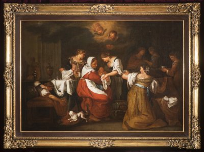
Lot 11 THE BIRTH OF THE VIRGIN
Starting price800 000 CZK | 31 373 €
Price realized
950 000 CZK | 37 255 €
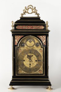
Lot 12 A BAROQUE TABLE CLOCK
Starting price100 000 CZK | 3 922 €
Price realized
100 000 CZK | 3 922 €

