70 000 CZK
| 2 917 EUR
Lot 34
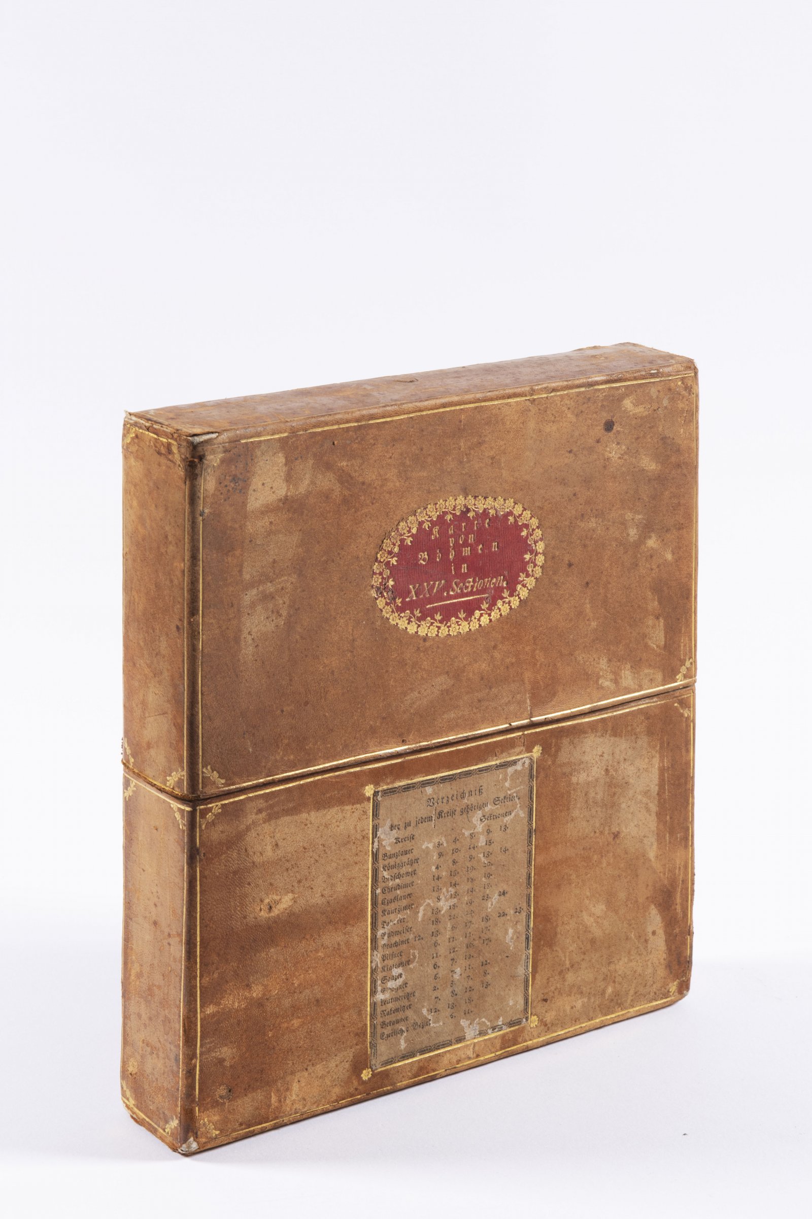
MÜLLER MAP OF BOHEMIA
1720
240 x 282 cm (h x b)
Rufpreis
Erzielter Preis
70 000 CZK
| 2 917 EUR
| 2 917 EUR
preis ohne Aufpreis
Müller's map of Bohemia is a map by the German cartographer Jan Krystof Müller from 1720 showing Bohemia at a scale of 1:132 000. It is the largest old map of Bohemia - it has 25 sections in total, in the case of the offered map it is a large variant. It is also the last and most detailed of Müller's maps (he had previously made maps of Hungary and Moravia). Müller started mapping in 1712 in the Bechyně region and finished it in 1717. The relief is depicted using the hill method with shading, much attention is paid to the river network, but the most interesting feature of the map is the detailed delineation of settlements and economic activities. The map also has high quality artwork by Václav Vavřinec Reiner. The offered map is in excellent condition, the size of one section is 47 x 55 cm.
Andere Auktionsgegenstände

NECKLACE - AWARD OF MEDA MLÁDKOVÁ
Rufpreis35 000 CZK | 1 458 EUR
Erzielter Preis
35 000 CZK | 1 458 EUR
Lot 1 SAINT PAUL
Rufpreis100 000 CZK | 4 167 EUR
Lot 2 COUNCIL OF CONSTANCE CHRONICLES
Rufpreis90 000 CZK | 3 750 EUR
Erzielter Preis
90 000 CZK | 3 750 EUR
Lot 3 CRITICISM OF HUSSITISM
Rufpreis18 000 CZK | 750 EUR
Lot 4 COMPENDIUM OF CHRISTIAN DOCTRINE
Rufpreis48 000 CZK | 2 000 EUR
Lot 5 PJSNE DUCHOWNJ EWANGELISTSKÉ Z PJSEM SWATÝCH
Rufpreis38 000 CZK | 1 583 EUR
Erzielter Preis
50 000 CZK | 2 083 EUR
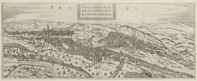
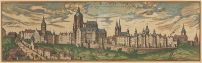
Lot 6 RENAISSANCE VIEW OF PRAGUE
Rufpreis5 000 CZK | 208 EUR
Erzielter Preis
9 500 CZK | 396 EUR
Lot 7 EMPEROR PALACE IN PRAGUE
Rufpreis6 000 CZK | 250 EUR
Erzielter Preis
8 500 CZK | 354 EUR
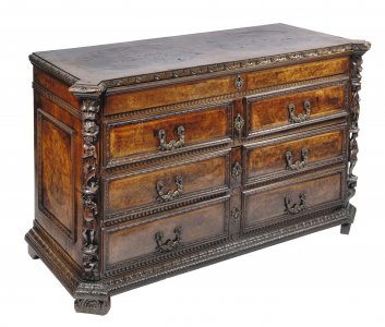
Lot 8 MANNERIST CHEST OF DRAWERS "A BAMBOCCI"
Rufpreis95 000 CZK | 3 958 EUR
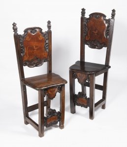
Lot 9 PAIR OF MANNERIST CHAIRS
Rufpreis15 000 CZK | 625 EUR
Erzielter Preis
33 000 CZK | 1 375 EUR
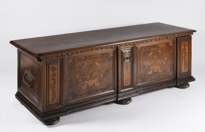
Lot 10 BAROQUE CHEST
Rufpreis60 000 CZK | 2 500 EUR
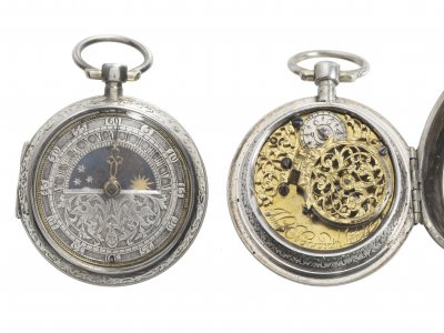
Lot 11 BAROQUE POCKET WATCH
Rufpreis80 000 CZK | 3 333 EUR